Category: Maps
Nuclear Emergency Search Team (NEST), Nellis Air Force Base Suppose Uncle Sam receives a report that a terrorist group has planted a nuclear device somewhere on American soil. If …
Nevada Test Site (NTS) Mercury Located about 65 miles north of Las Vegas is the most heavily-nuked piece of real estate on this planet. But in 1992 a moratorium …
The original and still the best! If you can visit only one site of the Top Secret Government, this is the one. Most of what you have heard about …
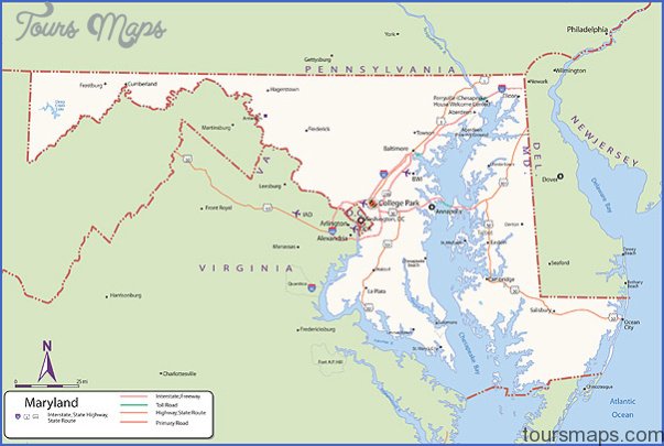
Continuity of Government Facility, Hagerstown Southeast of Hagerstown is another FEMA Continuity of Government (COG) facility. This facility is also believed to be intended for housing civilian second-tier government …
Continuity of Government Facility, Boonsboro Clearly visible from several roads in the Boonsboro area is a FEMA Continuity of Government (COG) facility. This facility is located atop Lambs Knoll …
Alternate National Warning Facility, Olney Manned 24 hours a day, this is FEMA’s backup facility to Mt. Weather. In the event of a national emergency, this facility could be …
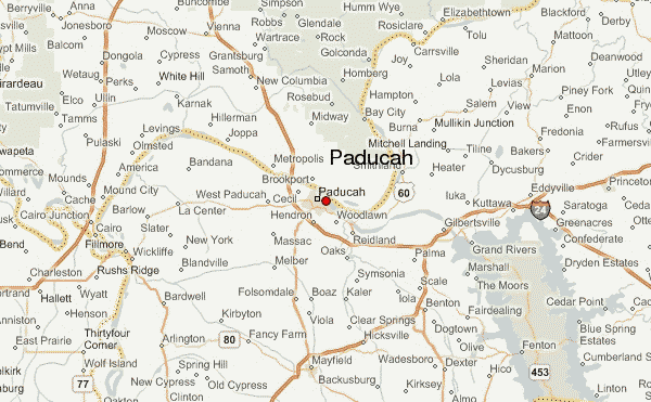
Paducah Gaseous Diffusion Plant, Paducah There’s more than just moonshine brewing in the hills of Kentucky. Since 1952, the Paducah Gaseous Diffusion Plant has been cranking out enriched uranium …
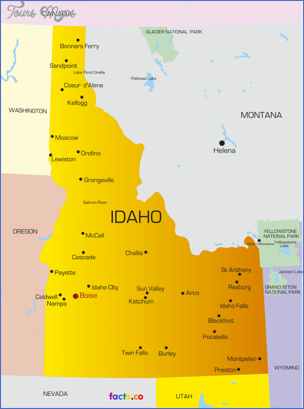
Idaho National Engineering and Environmental Laboratory, Idaho Falls Since its founding in 1949, 52 nuclear reactors the largest concentration of nuclear reactors in the world have been operated here. …
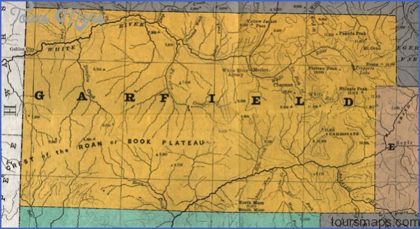
Project Rulison Test Site, Garfield County On September 10, 1969, the Atomic Energy Commission conducted a 43-kiloton underground atomic bomb test in western Garfield County to see if atomic …
Cheyenne Mountain Operations Center, Colorado Springs This place is something out of a 1960s James Bond movie. Inside a hollowed-out mountain designed to withstand a direct strike from an …
source
reise fahrerkarte