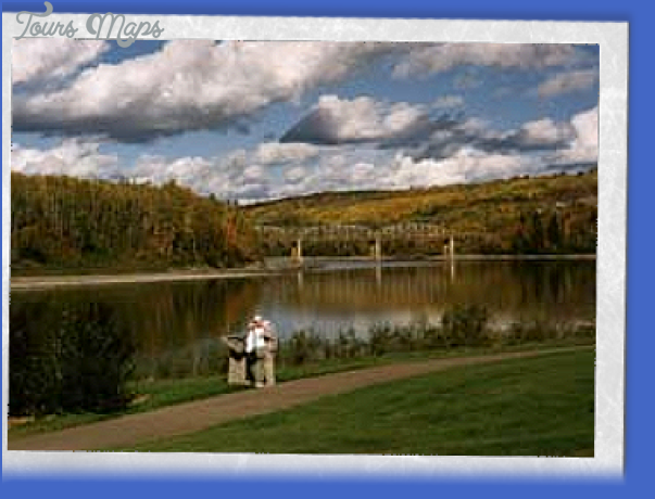
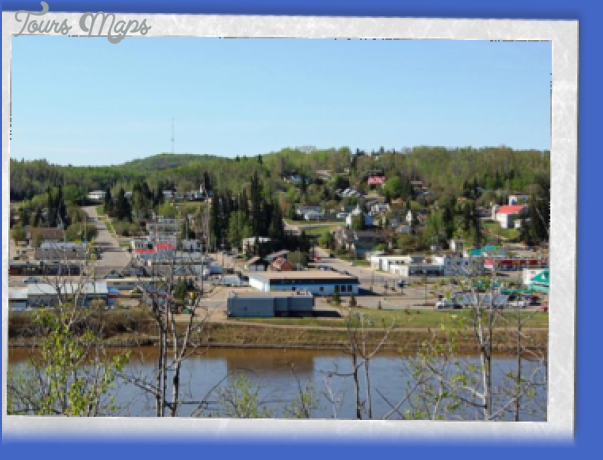
Location: Look for the trailhead at the end of 45th Street (the first southbound street after the bridge that crosses the Tawatinaw River) in Athabasca.
Info: Snowmobiles and all-terrain vehicles are not allowed.
In 1876, Athabasca Landing Trail was the first overland route between Edmonton and Athabasca Landing. The Hudson’s Bay Company established the trail to improve and expand northern transportation. It linked the North Saskatchewan River with the Mackenzie River system and became Canada’s busiest northern route for 40 years. As the railway expanded, the trail became less important. The path that remains from this historical course begins at Gibbons and ends in Athabasca. It is part of the Trans Canada Trail, the longest trail in the world.
The Athabasca-Perryvale portion of the trail is 32 kilometres long. Its surface is natural in parts, with some corduroy, gravel, and dirt surfaces, so you can expect some soggy, boggy parts in spring. The trail may be used for hiking, cycling, Nordic skiing, horseback riding, snowshoeing, and dogsledding. Trailheads are marked in Athabasca, Colinton, and Perryvale. The trail follows the Old Landing Trail most closely between Perryvale and Meanook. A Trans Canada Trail pavilion is located at the Athabasca trailhead.
While beyond the two-hour day-trip range of this book, hikers of historical trails will be interested to know that the Peace River Trail begins 30 kilometres north of Athabasca (take Highway 813 north from Athabasca and turn left at the Sawdy turnoff). The Old Peace River Trail enabled early Aboriginals, trappers, and gold seekers to continue the route north. The trail contains historical points of interest, including gravesites and the Tomato Creek stopping house.
Athabasca Landing Trail Photo Gallery
Maybe You Like Them Too
- NIGHT SKY ETIQUETTE
- Ukrainian Cultural Heritage Village
- Strathcona Wilderness Centre
- EAST OF EDMONTON MAP
- Boyle Edmonton Map

