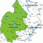
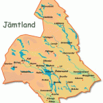
Every summer geological, botanical, musical and dancing weeks are organised in Jamtland. Information about dates can be obtained from tourist information offices.
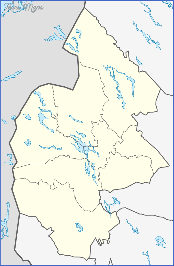
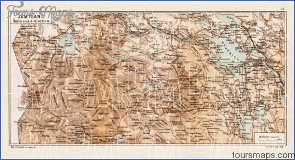
Jamtland, a mountainous province of central Sweden bordering on Norway, is one of the last unspoiled natural regions in Europe. Only 1 4% of the area of this well-wooded territory is under cultivation. With its great expanses of lush green pastureland, its crystal-clear rivers and its snow-capped peaks, Jamtland is equally attractive in both summer and winter. Here animals threatened with extinction (including the bear, the glutton similar to the wolverine and rare species of marten) live undisturbed, and Jamtland’s 3000 lakes and streams contain many species of fish to attract the angler. The best months for fishing the mountain streams are July and August; in the forest regions June is preferable.
The capital of the province of Jamtland is Ostersund (219), on the Storsjo, from which Road 14 runs W to the Norwegian frontier.
Jarpen (alt. 324 m (1063 ft); Sundets Fjallgard, 40 b.) is a busy little industrial town on the Indalsalv (power station), which drains the Kallsjd (N of the town). The area is well wooded. To the W, beyond the Indalsalv, the Rista Falls (14 m (45 ft) high) tumble into the Arealv. The calcareous soil favours the growth of mosses and other simple plant forms.
Are (alt. 378 m (1240 ft): Arevidden, 201 Sunwing, 137 Diplomat, 100 Wardhuset Karolinen, 91 Lundsgarden, 81 Fjallgarden, 75 Klappens, 50 b.) a popular mountaineering and winter sports resort, has an old stone church probably dating from the 1 3th c. with a well-known representation of St Olof. A cableway goes up to about 1 300 m (4267 ft); there are several chairlifts and ski-tows. A funicular runs up to the Ostra Plata (Eastern Plateau, 557 m 1828 ft), from which two double chairlifts go up to the Morvikshummel (887 m 2911 ft; inn). To the N rears Areskutan (1420 m 4659 ft) from which there is a magnificent view. 8 km (5 miles) W of Are lies the winter sports resort of Duved (384 m 1260 ft; Hotel Duved Garden, 36 b.) lifts to the Mullfjall (1031 m 3384 ft).
To the W of Duved, Road 322 goes off on the right and runs NW to the Tannfors, a waterfall in a nature reserve. The Indalsalv pours into the Nornsjo from a
The Tannfors falls (Jamtland) height of 32 m (105 ft), with a width of 60 m (200 ft) to make this one of the finest waterfalls in the N.
Storlien (alt. 592 m (1 942 ft); Hogfjalls-hotell, 500 Storvallens Stughotell; 115 vacation chalets, Storlien Hotell, 162 b.), with Sweden’s highest railway station, lies in a popular winter sports area (numerous lifts). In summer there is pleasant canoeing. The Norwegian frontier is 4 km (2i miles) W of Storlien.
Strdmsund (alt. 288 m (945 ft); Grand Hotell, 60 b.) is reached from Ostersund on Road 88, runnmg NE. It is a trim little place set in fertile country. To the S lies theRussfjard. 2 5 km (1miles) NE, on the Grelsgiird, stands a lookout tower with a view extending to the mountains on the Norwegian frontier. To the NW the string of lakes known as Stroms Vattudal extends to the Norwegian frontier. This lake system, through which the Faxalv flows, is a paradise for anglers. Near the frontier is a nature reserve, with the Hallingsafall (waterfall, 55 m high, 10 m wide). To the N, via a minor road from Gaddede, is Ankarede, a traditional meeting-place of the Lapps, with a chapel (1896). The annual Lapp fair held here in the middle of summer attracts many visitors.
E of Ostersund, in the Ragunda valley (Road 87), is Hammarstrand (Lergodset Hotell, 44 campsite), at the foot of the Kullstaberg. From the lookout terrace on the hill there is a view of the Indalsalv, which, until 1796, was a lake 15 m (50 ft) deep. The lake disappeared within four hours on the night of 6-7 June 1796, when a channel for rafts was opened.
Jamtland Sweden Map Photo Gallery
Maybe You Like Them Too
- The Best Cities To Visit in The World
- World’s 10 Best Places To Visit
- Coolest Countries in the World to Visit
- Travel to Santorini, Greece
- Map of Barbados – Holiday in Barbados

