SAWTOOTH NATIONAL FOREST
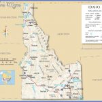
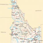
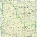
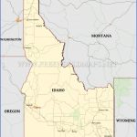
This National Forest consists of several units in the south-central part of the state. Located here are some of Idaho’s most notable mountain ranges, including the Sawtooth, White Cloud, and Boulder Mountains. There are 40 peaks over 10,000 feet, with 12,009-foot Hyndman Peak the highest.
More than half of the National Forest (754,000 acres) has been designated the Sawtooth National Recreation Area, which preserves some of the finest scenery. It’s also the location of a major wilderness area: the 217,088-acre Sawtooth Wilderness.
Scenery includes high granite peaks, limestone cliffs, deep canyons, and striking rock formations. There are scores of streams and rivers, over 1,000 lakes, conifer forests, and mountain meadows. Among the wildlife are elk, deer, antelope, black bear, bighorn sheep, and mountain goat.
Activities: Backpacking and hiking are possible on about 1,600 miles of trails, many of which are in the Sawtooth National Recreation Area. Difficulty varies from easy to strenuous. Snow often remains on trails at high elevations until mid-July, and typically returns by late September.
Horseback riding is allowed on most trails. Some trails are designated for cross-country skiing in winter. Mountain biking is permitted on trails outside of the Sawtooth Wilderness.
Rafting, kayaking, and canoeing are available on the Salmon River. Climbing and mountaineering are other options in the mountains here. Fishing is also possible, with hunting permitted in season, j Camping Regulations: Camping is allowed throughout most of the National Forest, except near public recreation areas or where otherwise prohibited. Permits are required for horseback riders and for groups of 10 or more in the Sawtooth Wilderness.
In the wilderness area campsites must be at least 100 feet from trails and water sources. Campfires are generally allowed but discouraged. Fires are not permitted within 200 yards of some lakes, and are prohibited in a few other locations.
I For Further Information: Sawtooth National Forest, 2647 Kimberly Road East, Twin Falls, ID 83301; (208)737-3200.
Idaho Map Photo Gallery
Maybe You Like Them Too
- Explore Pulau Sebang Malaysia with this Detailed Map
- Explore Southgate, Michigan with this detailed map
- Explore Les Accates, France with this Detailed Map
- Explore Góra Kalwaria, Poland with this detailed map
- Explore Gumdag, Turkmenistan with this detailed map

