County: Finnmark fylke.
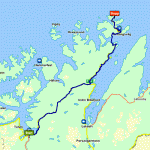
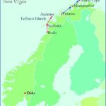
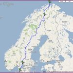
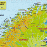
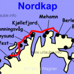
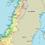
ACCESS. By car, leaving Tromso, Road 6 at first runs close to the coast for most of the time, passes through Alta and comes to Olderfjord: from there, Road 95 runs up the Porsanger peninsula to Kafjord, from which there is a car ferry (f hour; 6-11 times daily, according to season) to Honningsvag. From Lakselv airfield there a re busesto Kafjord. By sea, the trip from Hammerfest is recommended; the only boats available, however, are the ”Hurtigrute” ships from Bergen to Kirkenes. These have limited accommodation; the trip takes about 6 hours. From Honningsvag buses or taxis go to the North Cape. By air, there is a service from Hammerfest to Honningsvcig. Cruise liners land either at HonnigsvSg or at Skarsvcig in Risfjorden, from where they take the shorter route to the cape.
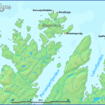
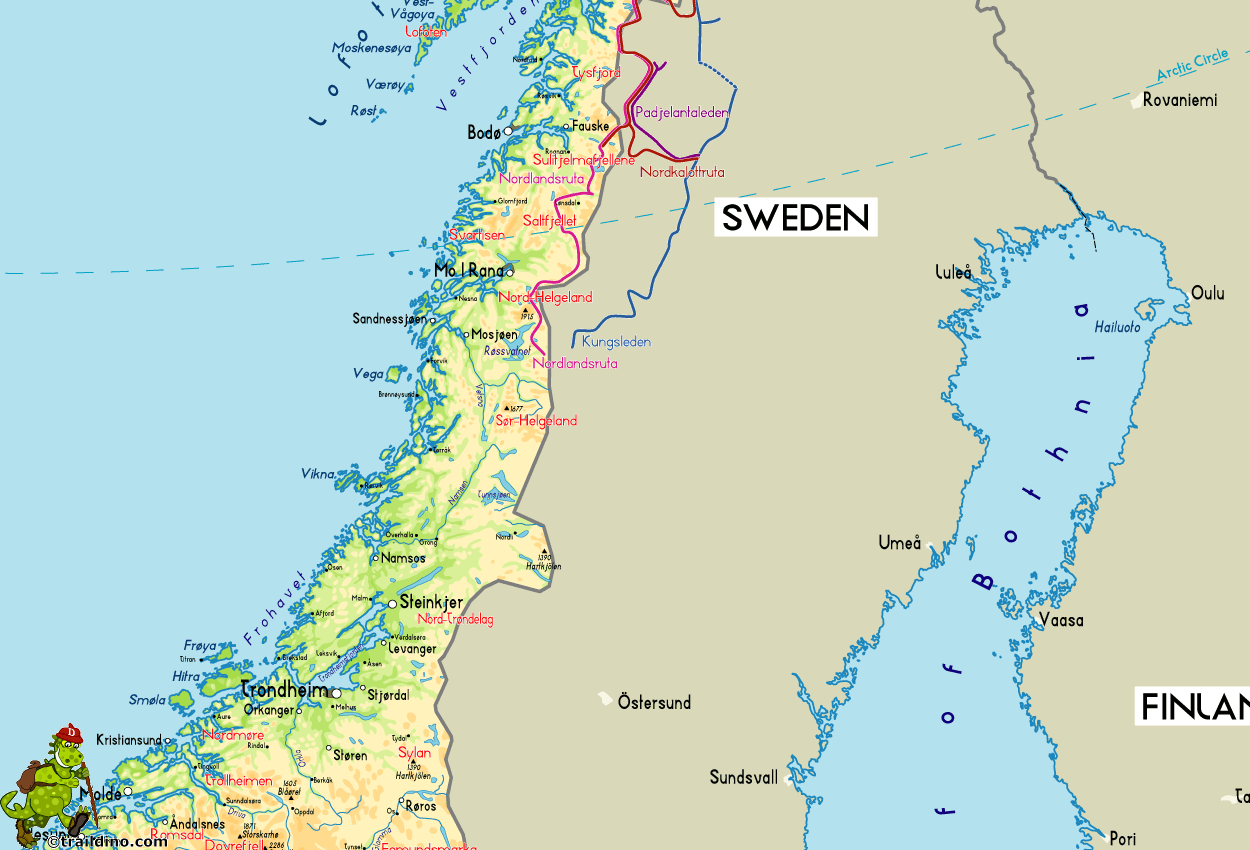
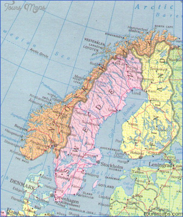
The llorth Cape (alt. 307 m (975ft); lat. 71 °10’21 N, 25°47’40 E), is a precipitous crag of slate, furrowed by deep clefts, on the N coast of the island of Mageroy. It is regarded as the northernmost point of Europe, although the cape of Knivskjellod-den reaches a little farther N (lat. 71 °11 ‘8 N). The most northerly point on the mainland is the promontory
The North Cape of Nordkinn (or Nordkyn or Kin-narodden, alt. 234 m 768 ft), between the Laksefjord and the Tanafjord (lat. 71°8’1 N, long. 27°40’9 E 68 km (42 miles) E of the North Cape).
The island of Mageroy is considered to be the most northerly outpost of Europe. Between fjords cutting deep into the land, its promontories jut out into the Arctic Ocean massive and much fissured ridges of rock between 300 and 400 m (1 000 and 1 300 ft) high, flat-topped and, for the most part, falling steeply to the sea. Only an occasional patch of vegetation can be seen in this desolate landscape. The boats dock at SkarsvSg (no hotel) or atthe little fishing town of Honningsvag on the SE coast of the island (Nord-kapp Hotell, 250 b ), from which there are buses and taxis to the North Cape. On the farthest point is a restaurant (North Cape certificates, special stamps and cancellations). An arrow marks the direction of due north; there is a granite pillar commemorating King Oskar M’s visit to the North Cape in 1 873. In good weather the view extends over the open Arctic Ocean to the W, N and E. To the SW are the islands of Hjelmsoy and Rolvsoy; to the E, in the distance, the Nordkinn promontory; to the S the Mageroy plateau with its snowfields, lakes and scanty vegetation. Since 1929 the North Cape has been protected as a nature reserve, and the removal of plants is prohibited. The midnight sun is visible here from 14 May to 30 July, reaching its lowest point at 11.35 p.m. (Central European Time).
North Cape Norway Map Photo Gallery
Maybe You Like Them Too
- The Best Cities To Visit in The World
- World’s 10 Best Places To Visit
- Coolest Countries in the World to Visit
- Travel to Santorini, Greece
- Map of Barbados – Holiday in Barbados

