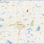
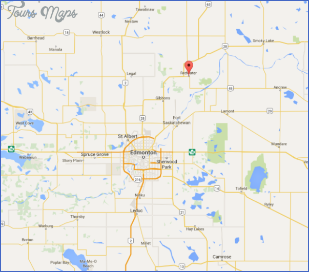
Directions: Exit Edmonton on Manning Drive (Hwy 15) and turn left at 17th Street NE onto Hwy 28A. Continue on Hwy 28 and turn right at Hwy 38.
Distance: 62 km, or about 1 hour and 10 minutes, from Edmonton.
Info: 780-942-3519; www.redwater.ca.
Redwater is named for its proximity to the Redwater River, a North Saskatchewan River tributary that gets its distinctive colour from nearby beds of ochre. You’ll know you’re there when you spot the 45-metre Discovery Derrick. This historical landmark in the centre of Redwater is the tallest freestanding oil derrick in North America.
Look for the Redwater and District Museum (4916-48th Street), which reveals the lives of early pioneers and their experiences around the time oil was discovered three kilometres northeast of Redwater and the community grew from a village to a hamlet to a town within months. The principal focus of the collection’s approximately 10,000 objects is the early migration of people from various cultures, including Eastern Europe and Japan. The oil industry is explored from a social perspective. The museum is open during the summer; hours fluctuate, but museum personnel will happily open by appointment, and admission is free. To make an appointment, call 780-942-3206.
While you’re in the area, consider visiting the nearby Redwater Sandhills Recreation Area. You can explore this 2,225-hectare day-use area on an off-highway vehicle, by horseback, on foot, or on snowmobile. It contains one of the largest sand dune fields in the region and is home to Jack pine and lichen woodlands, aspen and paper birch wetlands, and black spruce, tamarack, and sphagnum moss muskeg, as well as sedge and dwarf shrub. From Redwater, drive 10 kilometres east on Highway 644. Turn south on Range Road 205 and park at the staging area.
For more information, contact the Parks Information Line at 1-866-427-3582 or the Town of Redwater at 780-942-3519 ext. 33.
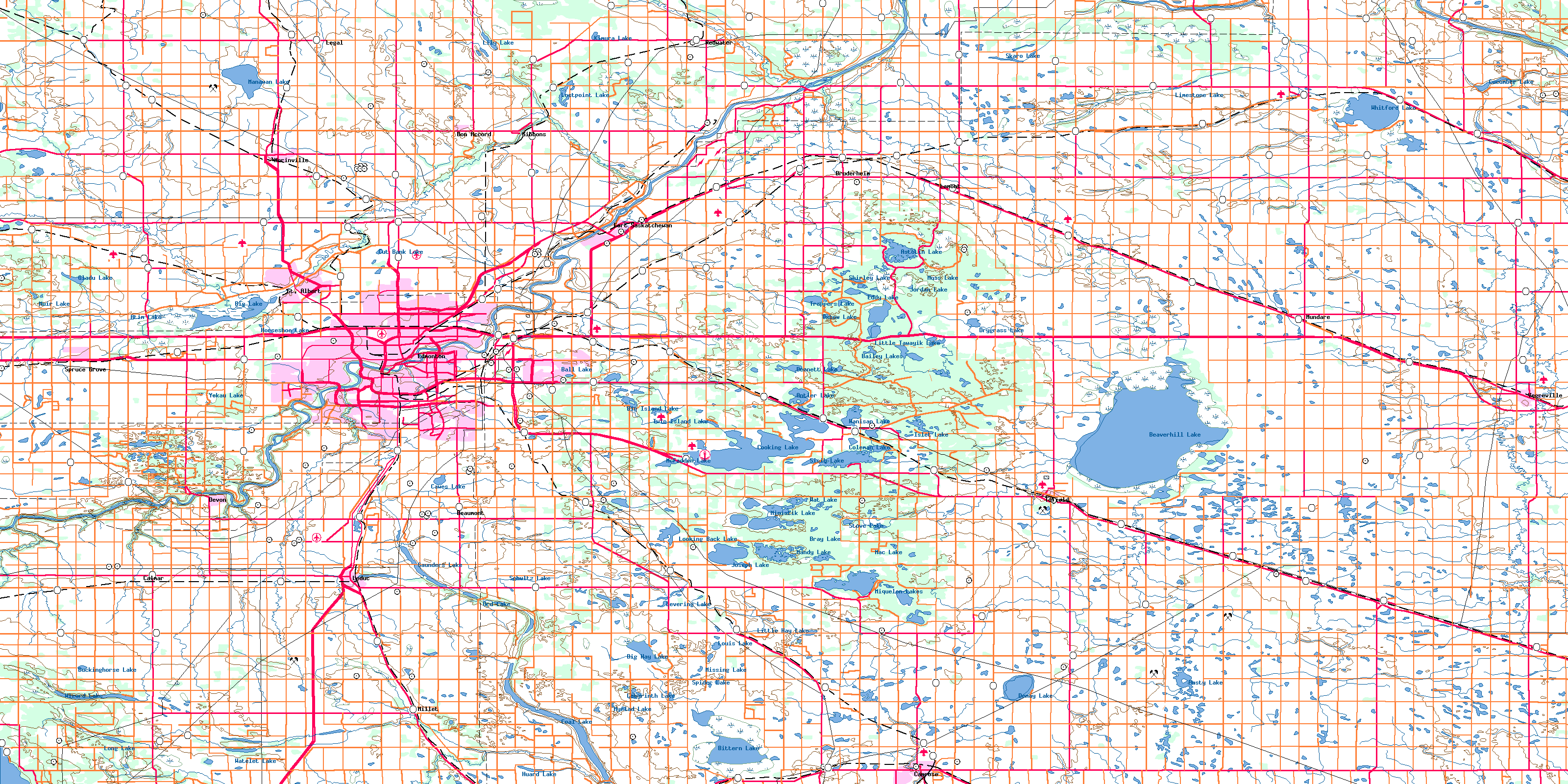
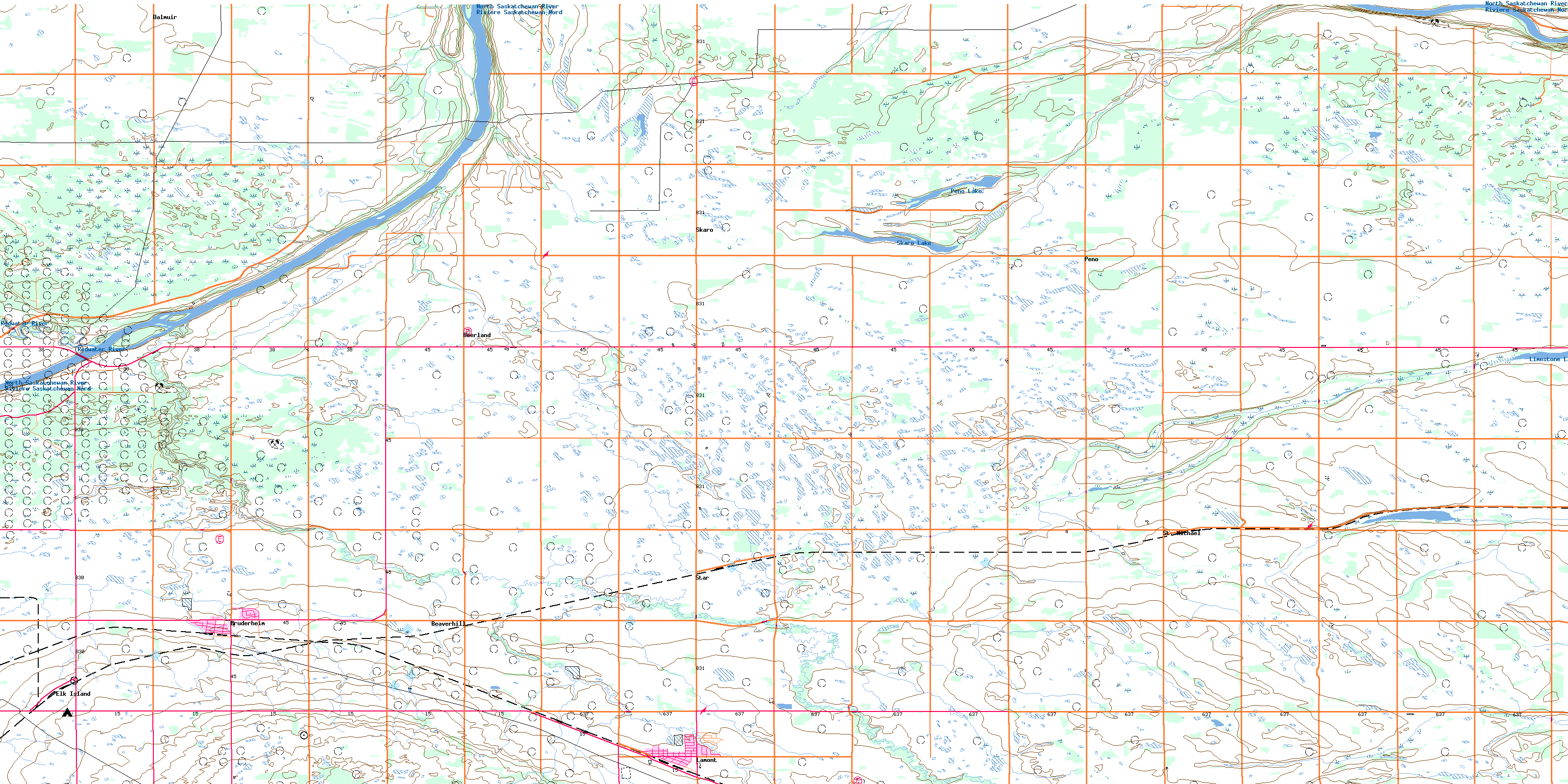
REDWATER Edmonton Map Photo Gallery
Maybe You Like Them Too
- The Best Cities To Visit in The World
- World’s 10 Best Places To Visit
- Coolest Countries in the World to Visit
- Travel to Santorini, Greece
- Map of Barbados – Holiday in Barbados

