The Greek diurnal schedule is out of step with the rest of Europe. As in Mexico, the Greeks take a late lunch, a siesta and late evening meals. Most stores in Athens open around 7 a.m. Don’t expect to read anything unless you understand the Greek alphabet and style of lettering, a real hardship at times.
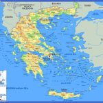
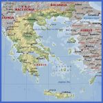
Athens is a good base for excursions. The Temple of Poseidon is a half-day excursion; Corinth and Delphi take a day. One-day excursions to the three Saronic islands, Hydra, Poros, and Agenia, are popular.
Probably the best known ruins in the world, The Acropolis, overlooking modern Athens. Tourists walking over its grounds and the smog are hastening its deterioration.
Boats leave daily from Piraeus, port city for Athens, to the dozens of Greek islands south and east.
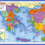
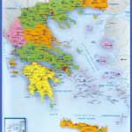
Greek islands of the Aegean Sea are grouped into the Cyclades, the Sporades (there are two groups of Sporades, north and south) and the Dodecanese. Rhodes is the chief island of the Dodecanese group. Crete is unto itself, the largest of the Greek islands. Off the west coast of Greece are the Ionian islands, the most popular being Corfu, which lies just off Albania.
Mykonos is often called the St. Tropez of the Aegean, possibly because of nude bathing by large numbers of liberated visitors. Part of the Cyclades group, Mykonos is the in island, called the jewel of the Aegean. It is indeed liberated, where visiting males marry males and some women marry women. The Greeks themselves are much more conservative, in some things ultra conservative. For example, the monastery on Mount Athos in northern Greece requires all vessels coasting around the shores of Mt. Athos to stay a distance of 500 meters if women are on board.
Greece Map Photo Gallery
Maybe You Like Them Too
- The Best Cities To Visit in The World
- World’s 10 Best Places To Visit
- Coolest Countries in the World to Visit
- Travel to Santorini, Greece
- Map of Barbados – Holiday in Barbados

