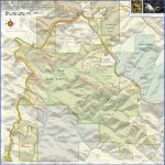
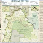
CASTLE ROCK STATE PARK MAP CALIFORNIA
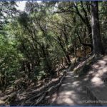
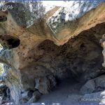
3,600 acres. Located in the western edge of the Santa Cruz Mountains, in west-central California, this wild state park has elevations from under 1,000 feet to over 3,000 feet. There are steep ridges with rock outcrops and vistas, sandstone caves, meadows, waterfalls, and
forests of fir and redwood, oak and pine. Wildlife includes mule deer, coyote, and fox.
Activities: The park has 32 miles of trails for hiking, backpacking, and horseback riding. Included is a section of the Skyline to the Sea Trail. Rock climbing is available on Castle Rock. Hunting is prohibited.
Camping Regulations: Camping is limited to one trail camp, which is located alongside some trails in the center of the park. Campfires are restricted to fire rings provided at the designated sites. Dogs are not allowed, and smoking is forbidden.
For Further Information: Castle Rock State Park, 15000 Skyline Boulevard, Los Gatos, CA 95030; (408)867-2952.
CASTLE ROCK STATE PARK MAP CALIFORNIA Photo Gallery
Maybe You Like Them Too
- Arnold A Town with a Heart
- The Best Cities To Visit in The World
- World’s 10 Best Places To Visit
- Map of New York City – New York City Guide And Statistics
- Map of San Francisco – San Francisco Map Free

