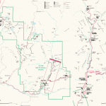
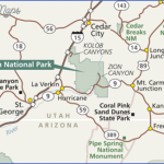
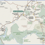
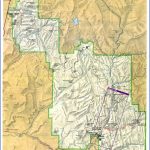
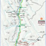
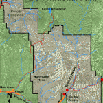
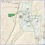
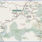
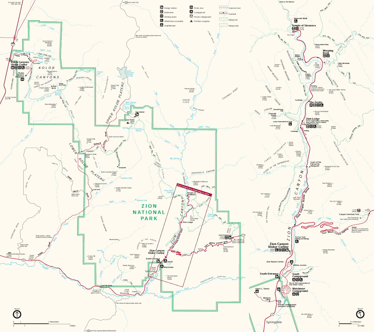
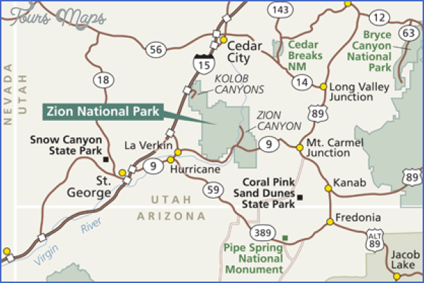
The name Zion, Hebrew for Jerusalem (and the Holy Sanctuary in Arabic), was bestowed upon a sublime red rock canyon carved by the North Fork of the Virgin River. As they say, If the shoe fits, wear it. This region of southwestern Utah has served as a sanctuary for ancient cultures, Mormon settlers, government explorers, and today’s solace-seeking tourists.
People have inhabited the Virgin River Valley for at least 8,000 years. Nomadic families camped, hunted, and collected plants and seeds. About 2,000 years ago they began cultivating crops, which led to construction of permanent villages called pueblos. The only remnants of these ancient cultures are baskets, rope nets, yucca fiber sandals, tools, and simple structures dating back to 500 AD. Tools used by the Fremont Culture and Virgin Anasazi include stone knives, drills, and stemmed dart points which were hurled with atlatls (a tool similar to today’s dog ball throwers). Small pit-houses and granaries have been discovered at various archaeological sites within the park’s canyons. Scientists speculate a combination of extended drought, catastrophic flooding, and depleted farmland forced these people to abandon their civilization around the turn of the 14th century. As the Fremont Culture and Virgin Anasazi left the region, Paiute and Ute Indians moved in. They migrated to the area on a seasonal basis, using its land for hunting and gathering, much like the original inhabitants. A few tribes cultivated fields of corn, sunflower, and squash, using the region as a sanctuary for hundreds of years.
It wasn’t until the late 18th century that a pair of Franciscan missionaries became the first people of European descent to explore the region. Francisco Dommguez and Father Escalante led an eponymous expedition, which left Santa Fe in search of a route to Monterey, California. Before reaching the Sierra Nevada their journey was impeded by a shortage of rations and snowstorms. Forced to turn back, they headed south, passing nearby the site of present-day Kolob Canyons Visitor Center, and then crossing the Colorado River at Marble Canyon before returning to Santa Fe.
Mormon farmers settled the Virgin River region in 1847. A few years later Parowan and Cedar City were established, and they named the area used as a pasture and lumber yard Kolob. According to Mormon scripture, Kolob is the heavenly place nearest the residence of God. By 1858, new settlements were established along the South Virgin River. Expansion continued when Isaac Behunin became the first to settle on the ground floor of a canyon he named Zion referring to a place mentioned in the Bible. The Behunins and two other families summered here. They grew corn, tobacco, and fruit trees, returning to nearby Springdale for winter.
In 1872, U.S. Army Major John Wesley Powell led an expedition through the region. He named the magnificent valley Mukuntuweap, the Paiute name for canyon. His crew took photographs, helping satisfy the East Coast’s curiosity about western wonders. The East took more interest after Frederick S. Dellenbaugh displayed his paintings of the colorful canyon at the St. Louis World Fair in 1904. Five years later President William Howard Taft decided the region should be a public sanctuary, establishing Mukuntuweap National Monument.
The regionnow preserved for everyone’s enjoymentwas relatively inaccessible to the average man. But in 1917 a road was completed to the Grotto. Visitation increased, and so did confusion about the canyon’s name. Locals disliked Mukuntuweap, and Horace Albright felt it needed to be more manageable. Congress and President Wilson agreed; land was added and it was redesignated Zion National Park. In 1923, a subsidiary of the Union Pacific Railroad purchased a small tent camp and replaced it with Zion Lodge. By 1930, construction crews completed Zion – Mount Carmel Highway, dramatically increasing access and visitation. Finally, Zion had become a sanctuary for everyone to enjoy.
Zion National Park Map Photo Gallery
Maybe You Like Them Too
- Explore Doncaster, United Kingdom with this detailed map
- Explore Arroyito, Argentina with this Detailed Map
- Explore Belin, Romania with this detailed map
- Explore Almudévar, Spain with this detailed map
- Explore Aguarón, Spain with this detailed map

