COLORADO BEND STATE PARK MAP TEXAS
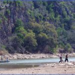
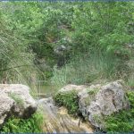
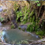
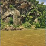
This state park in central Texas includes six miles of the Colorado River, with hills and rocky canyons, woodlands and savannas, caves and creeks. Among the wildlife are white-tailed deer, armadillo, and bald eagle. A portion of the park is currently closed to the public.
Activities: Hiking and backpacking are possible on about 12 miles of trails, nine of which are open to mountain biking. Fishing is available along the river, and hunting is permitted in season.
Camping Regulations: Camping is limited to designated areas along one trail next to the Colorado River. Campfires are not allowed, so a stove is necessary in order to cook.
For Further Information: Colorado Bend State Park, Box 118, Bend, TX 76824; (915)628-3240.
COLORADO BEND STATE PARK MAP TEXAS Photo Gallery
Maybe You Like Them Too
- Arnold A Town with a Heart
- The Best Cities To Visit in The World
- World’s 10 Best Places To Visit
- Map of New York City – New York City Guide And Statistics
- Map of San Francisco – San Francisco Map Free

