CARIBOU NATIONAL FOREST
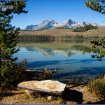
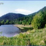
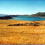
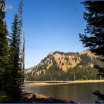
Caribou National Forest is comprised of a number of separate tracts in the southeast corner of Idaho, with small sections in Utah and Wyoming. Much of the terrain here is mountainous, with elevations ranging from 5,000 feet to over 9,000 feet. Highest point is 9,953-foot Meade Peak.
There are sagebrush slopes, canyons and ice caves, meadows, forests of Douglas fir and lodgepole pine, rivers and streams. Elk, moose, and deer are among the wildlife. Curlew National Grassland, consisting of 47,658 acres, is also part of this National Forest.
Activities: Hiking and backpacking are available on about 1,200 miles of trails, including the 55-mile High Line National Recreation Trail and the 35-mile Boundary Trail loop. Difficulty varies from easy to strenuous.
Horseback riding is allowed on many trails. Cross-country skiing is possible during the snow season. Fishing is available along the streams and lakes, and hunting is permitted in season.
Camping Regulations: Camping is allowed through the region, except near public recreation areas or where posted otherwise. No permits are necessary. Campfires may be built, but a stove is recommended for cooking.
For Further Information: Caribou National Forest, Suite 282, Federal Building, 250 South 4th Avenue, Pocatello, ID 83201; (208)236-6700.
Idaho Travel Photo Gallery
Maybe You Like Them Too
- Explore the Beautiful Town of Saint-Alban, France with This Map
- Explore the Beautiful City of Southport, Australia with This Map
- Explore Sasbach, Germany with our Interactive Map
- Explore Nevestino, Bulgaria with this Detailed Map
- Explore Pulau Sebang Malaysia with this Detailed Map

