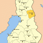
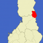
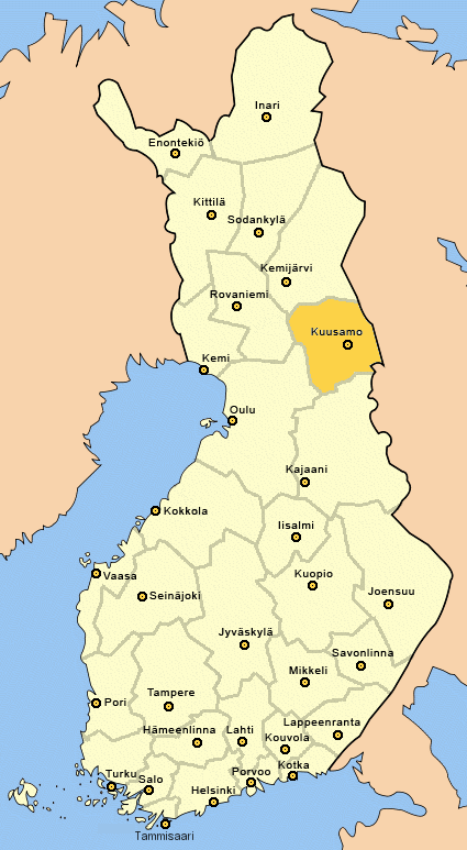
Province: Lapin laani (Lapplands IanLapland). Altitude: 255 m (837 ft). Population: 18,000.
Postal code: SF-93600. Telephone code: 9 89. ‘ NKuusamon Lomat Oy ‘ (Tourist Information Office),
HOTELS. Kuusamo,. Kirkkotie 23A, 132 SP: Otsola, Ouluntie 3, 80 b.: Koillis-Pohja, Kitronintie 1, 38 b.: Ylamaa. Ouluntie 2, 30 b.: Ukkoherra (motel), 23 b. IN kitka: Kitkapirtti, 20 b. (closed 1 November until 14 February). on rukatunturi (25 km (15 miles) N): Rukahovi, 255 bž SP (closed May).
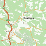
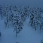
Kuusamo lies at the NW end of the Kuusamojarvi, a lake surrounded by wooded hills. The extensive area included within the commune of Kuusamo attracts many anglers in summer with its numerous lakes and rivers, and in winter it offers excellent skiing (large ski-jump and ski-lift on Rukatunturi).
Roughly a third of the population lives by farming and forestry (including reindeer herding). The local industries (woodworking, foodstuffs) are primarily small-scale. About half the population of the commune live in the town of Kuusamo. The town is a good base from which to explore the natural beauties of the area, either by car or on foot.
SURROUNDINGS. The contrast between the extensive areas of water and bogland and the tracts of rocky country give the scenery of this region its parti-
For an attractive excursion in the country round Kuusamo, leave on the Kemijarvi road (No. 5), which runs25 km (15 miles) N to Rukatunturi (482 m (1581 ft); chair-lift, ski-jump; extensive views from top; strongly recommended). From there continue on Road 5 for another 10 km (6 miles) and then turn right into Road 950.
In 5 km (3 miles) a side road runs E past the settlement of Sakkilanvaara to Juuma and the Jyrava rapids (good fishing). Continue on Road 950 and in 9 km (5 miles), at Kayla, turn right into the road to Kiikasenvaara, which comes in 15 km (10 miles) to the Kiutakongas rapids, where the Oulankajoki, flowing between sheer rock walls, drops 14 m (45 ft) over a distance of 600 m (650 yds).
Here the road cuts across the Bear Trail (Karhunkierros), a marked footpath some 70 km (45 miles) long, with shelter huts, etc. The trail ends at Rukatunturi. Experienced walkers can begin the walk there; others should start from the Suora-jarvi bus stop on Road 950, from which the going is easier. Since the trail is never too far from civilisation it is possible to take a break at any time.
Kuusamo Finland Map Photo Gallery
Maybe You Like Them Too
- The Best Cities To Visit in The World
- World’s 10 Best Places To Visit
- Coolest Countries in the World to Visit
- Travel to Santorini, Greece
- Map of Barbados – Holiday in Barbados

