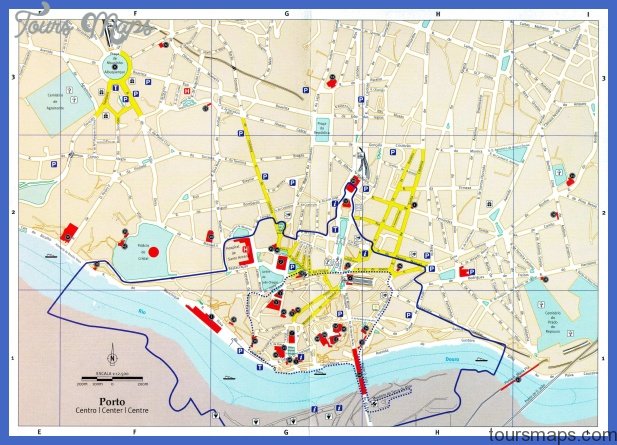
Porto, the second largest city in Portugal, has always been a trading town and still is one today. Situated in the north of Portugal with its center on the lower course of the river Douro it lies only 5 kilometers from its estuary and the Atlantic Ocean. With a population of 730,000 Porto is the industrial center of Portugal and its industriousness and productivity explain the meaning of the Portuguese saying” Lisbon celebrates and Porto toils”.
The main production is port wine followed by car tires, chemicals, electronic equipment, leather goods, silk, tobacco and foodstuffs. Porto is also the center for several oil refineries. It is not only its production activities which give Porto an almost Anglo-Saxon flavor, but also the rainy cool weather of northern Portugal. Three bridges over the Douro (one of them built by Gustav Eiffel) lead to the southern suburb Vola Nova de Gaia. In the west Porto has its suburbs on the Atlantic coast.
Map of Porto Portugal Photo Gallery


Maybe You Like Them Too
- Explore Southgate, Michigan with this detailed map
- Explore Les Accates, France with this Detailed Map
- Explore Góra Kalwaria, Poland with this detailed map
- Explore Gumdag, Turkmenistan with this detailed map
- Explore Telfes im Stubai, Austria with this detailed map