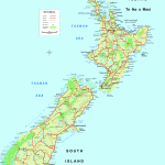
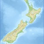
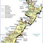
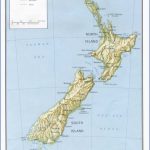
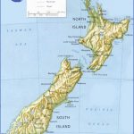
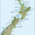
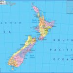
The country is said to be more British than Britain, though various Europeans have settled there and mixed with the native Maori. Altogether there are about three million people. The number one destination for New Zealanders is Australia, followed by Singapore and Fiji.
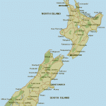
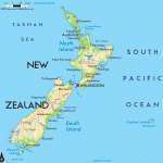
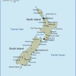
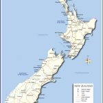
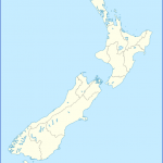
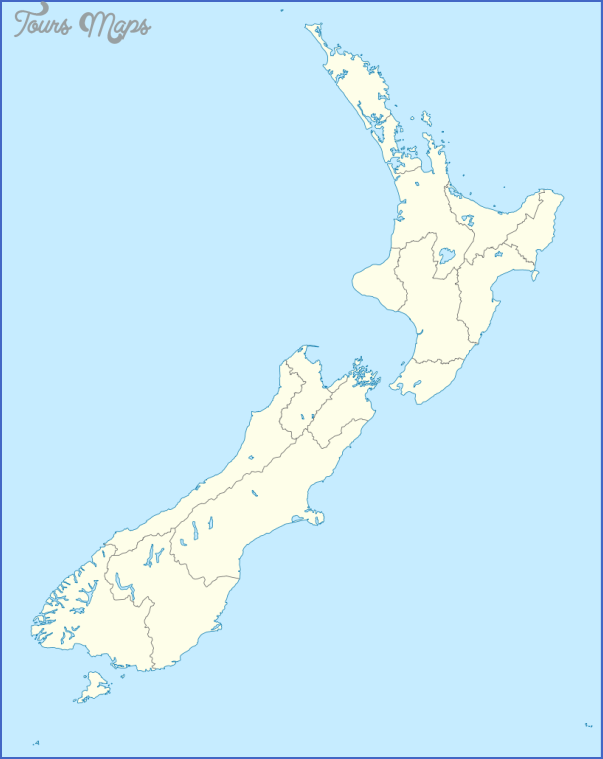
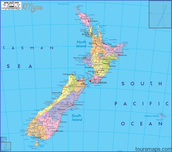
Geologically New Zealand is believed to be a separate rise of land, formed vocanically. Separated by one thousand miles of the Tasman Sea from Australia, it was probably never a part of Antarctica as was Australia. The two major islands, North Island and South Island, that form most of New Zealand are separated by straits that the traveler crosses by government ferry, a three hour and twenty minute trip, or by plane. Climate throughout New Zealand is largely determined by prevailing winds, the presence or absence of mountains and the ocean, which is never far away.
The North Island has a few mountains in its center; the South has its Southern Alps that account for the most spectacular scenery in the country. Microclimates are determined largely by mountains and water. Nelson in the South Island sits in a cove surrounded on three sides by mountains. Together the conditions create a small Shangri-La, providing more days of sunshine than anywhere else in New Zealand. Another microclimate is in the northeast of the North Island, around the little town of Kerikeri, a climate that makes citrus production possible.
Wellington, the capital city which lies at the southern tip of the North Island, is reminiscent of Chicago in the summer, because of its reputation for being windy.
New Zealand Map Photo Gallery
Maybe You Like Them Too
- Explore Pulau Sebang Malaysia with this Detailed Map
- Explore Southgate, Michigan with this detailed map
- Explore Les Accates, France with this Detailed Map
- Explore Góra Kalwaria, Poland with this detailed map
- Explore Gumdag, Turkmenistan with this detailed map

