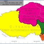
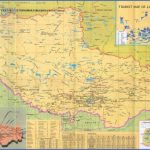
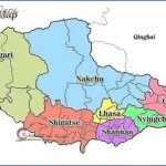
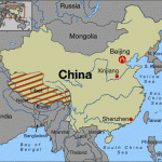
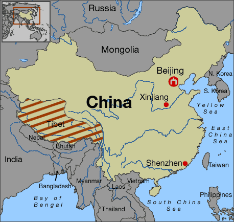
Tibetan The Tibetan Plateau, Central Asia’s great massif is subject to continuing movements from the Alpine-Himalayan mountain formation phases in the south. Positioned at an altitude of between 4000 and 4500m/13,000 and 14,750ft, it is bordered to the south by huge walls of mountains such as the Himalayas, Transhimalayas, Karakorams and Pamirs with summits of between 7000 and 8846m/23,000 and 29,020ft. It would be wrong to think of the Tibetan Plateau itself as flat terrain. It is in fact characterised by a changing relief pattern of parallel mountain ranges and intervening basins. The southern massifs drain down the deep, narrow gorges of the Sindh and the Indus or the Tsangpo/ Brahmaputra system and thence into the Indian Ocean, while the large area on the north side of the Transhimalayas remains without an outlet. The higher ranges are generally snow-capped and subject more or less all the year round to the glaciation and nivation processes associated with high altitudes.
Frozen lakes without outlets occasionally form in sheltered depressions but they have water levels which fluctuate widely. In some protected locations the bleak climate permits the growth of meagre high steppe vegetation.
The Kunlunshan with peaks rising to between 6000 and 7723m/ 19,500 and 25,330ft forms the northern edge of the Tibetan Highlands. Further north lie the Tarim and Quaidam basins and the Mongolian Plateau.
North-eastern Between the huge mountain ranges of Central Asia lie a number of basins important basins, which despite varying altitudes have some common features. As the surrounding peaks offer protection from rain-bearing air flows, these inland basins which have no water outlets, are inhospitably dry and are also exposed to very wide temperature fluctuations. Sandy deserts become broad salt clay plains or “takyr”; at the bottom of the mountains saline lakes alternate with huge piles of rock debris.
The most important Central Asian basins on Chinese soil are from west to east the Tarim Basin with the Turpan Depression, the Dsungar-ian and, a little further to the south-east, Quaidam Basin.
The Tarim Basin, a sunken plain sloping down to the east, is bordered on three sides by mountains. Altitude varies between 700 and 1400m/2300 and 4500ft and the basin covers an area close to 500,OOOsq.km/315,OOOsq.miles. Starting from the Pamir Knot in the west and extending across the heart of Turkestan, its east-west distance exceeds 1500km/950 miles and the distance from north to south measures 650km/400 miles. The Kunlunshan and the Altunshan separate the basin from the considerably higher regions of Tibet. In the north the Tianshan marks the limit of the Turpan Depression and the Dsungarian basin marks out the border with Kazakhstan. Access to the east and the Gobi Desert is blocked by the Beishan.
In the Tarim Basin, it is possible to observe an inland landscape without a water outlet produce a sequence of unusual topographical features. From the glacial outlying summits, the terrain falls steeply via scree-covered mountain sides down to rock debris strewn at the foot. The adjoining loess drift zone with a belt of oases is followed quickly by barren sandy desert. Beyond, the “takyr” landscape of salt clay plains and isolated lakes dominates the middle of the basin. The channels which drain water into the depression from the surrounding mountains come together in the Tarimhe, a river which skirts around the inhospitable Takla Makan desert at the middle of the basin. It finally reaches the saline Lop Nur lake via an underflow only re-activated in the 1930s.
Tibet Map Photo Gallery
Maybe You Like Them Too
- The Best Cities To Visit in The World
- World’s 10 Best Places To Visit
- Coolest Countries in the World to Visit
- Travel to Santorini, Greece
- Map of Barbados – Holiday in Barbados

