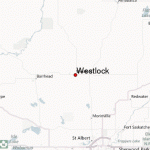
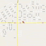
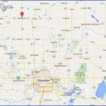
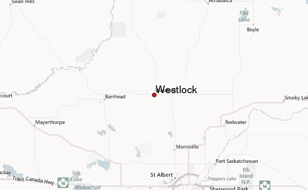
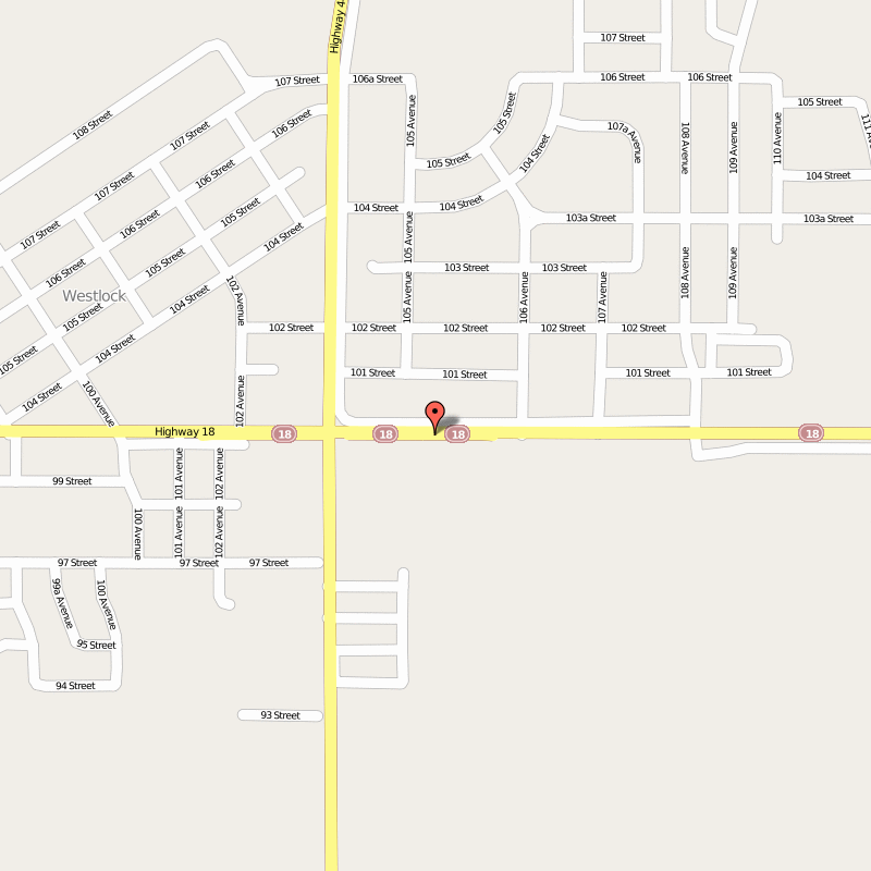
Directions: Exit Edmonton on St. Albert Trail NW, and continue on Hwy 2. Turn left at Hwy 18.
Distance: 85 km, or about 1 hour and 12 minutes, from Edmonton.
Info: 1-866-349-4445; www.westlock.ca.
Home to nearly 5,000 residents, the town of Westlock is located in the centre of one of Alberta’s most prosperous mixed-farming areas. A survey once described this farmland as generating the highest yield for the lowest crop cost in North America. Westlock is named after the land’s original owners, the Westgate and Lockhart families, whose land was purchased for the current townsite in 1912 in preparation for the railway’s arrival in 1913.
Explore Westlock neighbourhoods and green spaces by foot, bicycle, or in-line skates on the 9.6-kilometre Rotary Walking Trail. BMX bike riders, skateboarders, and in-line skaters will also enjoy the 12,000-square-metre concrete Skateboard Park at 10711-104th Avenue. With features for beginner, intermediate and expert levels, the park’s design combines stairs, ramps, and bowls.
If you’re looking for indoor entertainment, consider visiting the Cultural Arts Theatre (10015104th Street). Call the Flower Shoppe at 780-307-3703 for details on its series of live entertainment shows from September to March. The Westlock Community Art Club Gallery, located on the second floor of the Rotary Spirit Centre (9603-100th Street) displays a variety of art created in multiple mediums by area artists. Open Fridays from 12:00 p.m. to 4:00 p.m. as well as when the OPEN sign is posted downstairs.
WESTLOCK Edmonton Map Photo Gallery
Maybe You Like Them Too
- The Best Cities To Visit in The World
- World’s 10 Best Places To Visit
- Coolest Countries in the World to Visit
- Travel to Santorini, Greece
- Map of Barbados – Holiday in Barbados

