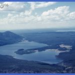
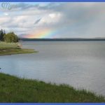
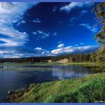
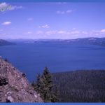
No writer has better described Yellowstone Lake than did renowned naturalist John Muir in an Atlantic Monthly article of 1898: It is about twenty miles long and fifteen wide, and lies at a height of nearly 8000 feet above the level of the sea, amid dense black forests and snowy mountains. Around its winding, wavering shores, closely forested and picturesquely varied with promontories and bays, the distance is more than 100 miles_ It is full of trout, and a vast multitude of birds swans, pelicans, geese, ducks, cranes, herons, curlews, plovers, snipe feed in it and upon its shores; and many forest animals come out of the woods, and wade a little way in shallow, sandy places to drink and look about them, and cool themselves in the free flowing breezes. In calm weather it is a magnificent mirror for the woods and mountains and sky, now pattered with hail and rain, now roughened with sudden storms that send waves to fringe the shores and wash its border of gravel and sand. . . . Yellowstone Lake is North America’s largest high altitude lake (7732 ft/2357 m) at about 14 by 20 miles (23 by 32 km) in width and length and with more than 141 miles (227 km) of shoreline.
The lake has an average depth of 139 feet (42 m); its deepest spot is 430 feet (131 m) just east of Stevenson Island. Tributaries Approximately 125 tributary streams feed into Yellowstone Lake, mostly from the south and east. One of the streams is the Yellowstone River’s source, which enters the southeast arm of the lake from the mountains in Bridger-Teton National Forest. Thus, the lake’s outlet at Fishing Bridge is not really the headwaters of the Yellowstone River. Islands The seven named islands in Yellowstone Lake are, from largest to smallest: Frank, Stevenson, Dot, Peale, Molly (actually two islands named Sandy and Rocky), Carrington, and Pelican Roost. Frank, Peale, and Molly were named by or for members of the 1871 and 1878 Hayden surveys of the Yellowstone area. The names of the other four are explained in the road logs when they come into view. Winter and the Lake In winter, ice nearly 3 feet (1 m) deep covers much of the lake, except where shallow water covers hot springs. The lake freezes over by early January, and the ice doesn’t break up until late May or early June. Rangers on ski patrol used to shorten their long trek to the southeast area of the park (the Thoro-fare) by skiing across the ice from Lake Ranger Station to Park Point on the east shore.
Yellowstone Lake Photo Gallery
Maybe You Like Them Too
- The Best Cities To Visit in The World
- World’s 10 Best Places To Visit
- Coolest Countries in the World to Visit
- Travel to Santorini, Greece
- Map of Barbados – Holiday in Barbados

