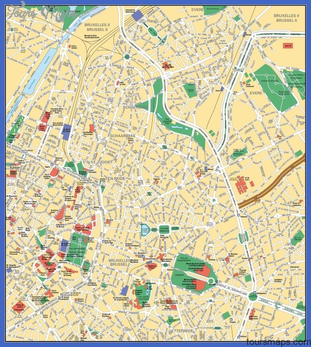
Since the world exhibition of 1958 the Belgium capital is the most important meeting and work center of the institutions of the European Economic Community. The EEC Council of Ministers and the EEC Commission are here as well as the NATO. In a valley and on the hill slopes, Brussels is geographically in the center of the country, a border between the Loss polders and the Geest countryside as well as the lingual border between Flanders and ‘La Wallonie’. The 150.000 inhabitants are divided into two parts: the Upper and Lower City. With housing and industrial areas covering almost 20 suburbs, Greater Brussels is over the one million inhabitants mark. Its industries are strong in the areas of mechanical engineering, textiles, printing, photography, furniture and paper manufacture as well as leather and tobacco. In addition Brussels is also famous for its lace. It is the seat of the Commodities Stock Exchange and hosts numerous trade fairs and exhibitions. The market place in lower Brussels with its town hall and guild houses in Flemish-Italian Baroque style is one of the most beautiful squares in the world and indeed an important tourist attraction. Here in the Grote Markt all Brussels old town walks start. Brussels also possesses a port: ships up to 3000 tons can come up the Brussels-Rupel canal and to the Sambre industrial estate via the Charleroi-Brussels canal.
BRUSSELS MAP Photo Gallery
Maybe You Like Them Too
- Explore Góra Kalwaria, Poland with this detailed map
- Explore Gumdag, Turkmenistan with this detailed map
- Explore Telfes im Stubai, Austria with this detailed map
- Explore Langenselbold, Germany with this detailed map
- Explore Krotoszyn, Poland with this detailed map

