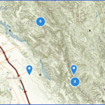
HENRY COE STATE PARK MAP CALIFORNIA
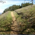
67,000 acres. Located southeast of San Jose in the west-central part of the state, this is California’s second largest state park. It has some steep ridges and canyons, streams, oak woodlands, pine forest, grasslands, and includes a 22,000-acre wilderness area.
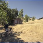
Activities: There are 45 miles of trails for hiking and backpacking. Horses are permitted on some but not all trails. Bikes are not allowed on trails.
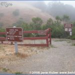
Camping Regulations: A permit must be obtained from the park museum before camping in the backcountry. It’s necessary to use either designated camping areas or camping zones. Horseback riders are required to stay in established horse camps.
A small fee is charged for camping each night. Campfires are prohibited in the backcountry. A stove is necessary for cooking. Pets are not permitted.
For Further Information: Henry Coe State Park, P.O. Box 846, Morgan Hill, CA 95038; (408)779-2728.
HENRY COE STATE PARK MAP CALIFORNIA Photo Gallery
Maybe You Like Them Too
- Arnold A Town with a Heart
- The Best Cities To Visit in The World
- World’s 10 Best Places To Visit
- Map of New York City – New York City Guide And Statistics
- Map of San Francisco – San Francisco Map Free

