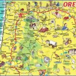
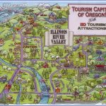
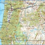
Oregon Map Tourist Attractions
UMATILLA NATIONAL FOREST
This National Forest is made up of three large units in the northeastern part of the state, along with some lands in southeast Washington. Dominating the area are the Blue Mountains, with elevations as high as 8,000 feet.
There are also plateaus, high cliffs, rock outcroppings, and deep canyons, with many streams and some major rivers. In the region are forests of Douglas and grand fir, ponderosa and lodgepole pine, and western larch, along with meadows and grasslands. Wildlife includes Rocky Mountain elk, white-tailed and mule deer, bighorn sheep, mountain lion, and coyote.
Umatilla National Forest has three designated wilderness areas: the 177,465-acre Wenaha-Tu-cannon Wilderness, part of the 121,800-acre North Fork-John Day Wilderness, and the 20,144-acre North Fork Umatilla Wilderness.
Activities: There are about 735 miles of trails for backpacking and hiking. Difficulty ranges from easy to strenuous. Horseback riding is allowed on many trails. Nordic skiing is possible on some trails during winter. Rafting is available on the Grande Ronde River. Streams and rivers are open to fishing, and hunting is permitted in season.
Camping Regulations: Camping is allowed freely throughput the National Forest, as are
campfires, except near public recreation areas or where posted otherwise. No permits are required.
For Further Information: Umatilla National Forest, 2517 S.W. Hailey Avenue, Pendleton, OR 97801; (503)276-3811.
Oregon Map Tourist Attractions Photo Gallery
Maybe You Like Them Too
- Arnold A Town with a Heart
- The Best Cities To Visit in The World
- World’s 10 Best Places To Visit
- Map of New York City – New York City Guide And Statistics
- Map of San Francisco – San Francisco Map Free

