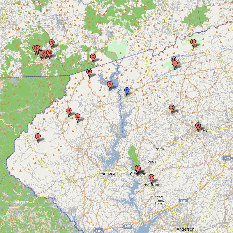
KEOWEE-TOXAWAY STATE PARK MAP SOUTH CAROLINA
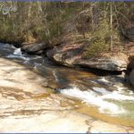
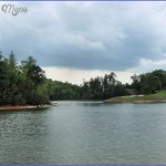
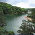
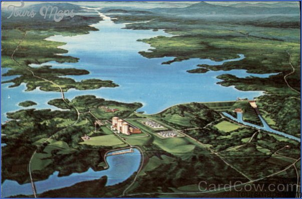
1,000 acres. This small state park is located in the foothills of the Blue Ridge Mountains, in the northwest part of South Carolina. It’s on the shore of 18,500-acre Lake Keowee. There are hills and rock outcrops, with oak-hickory forest and some pine, plus many streams. Wildlife includes deer and bobcat.
Activities: Hiking and backpacking are possible on the easy-to-moderate 4-mile Raven Rock Trail, along with two shorter trails. Fishing is available along the lakeshore. Hunting is prohibited.
Camping Regulations: Trailside camping is permitted only at designated sites along the Raven Rock Trail. Campfires are limited to authorized fire circles. It’s necessary to register at the park office, and a nominal camping fee is charged.
For Further Information: Keowee-Toxaway State Park, 108 Residence Drive, Sunset, SC 29685; (803)868-2605.
KEOWEE-TOXAWAY STATE PARK MAP SOUTH CAROLINA Photo Gallery
Maybe You Like Them Too
- Arnold A Town with a Heart
- The Best Cities To Visit in The World
- World’s 10 Best Places To Visit
- Map of New York City – New York City Guide And Statistics
- Map of San Francisco – San Francisco Map Free

