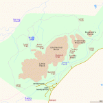
ENCHANTED ROCK STATE NATURAL AREA MAP TEXAS
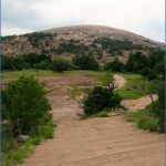
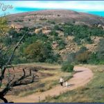
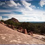
Situated in south-central Texas, this State Natural Area is noted for its granite-domed hills, mushroom-shaped rock formations, and a large cave. The region also has oak and hickory woodlands and grasslands. Wildlife includes whitetailed deer, armadillo, and wild turkey.
Activities: There are several miles of trails for hiking and backpacking. Rock climbing is also possible here.
Camping Regulations: Backpack camping is allowed in three designated areas accessible by trail. A fee is charged for each night. Advance reservations are available. Campfires are prohibited, so a stove must be used if one wishes to cook. Water must be carried in. Fall and spring are the best times to visit.
For Further Information: Enchanted Rock State Natural Area, Route 4, Box 170, Fredericksburg, TX 78624; (915)247-3903.
ENCHANTED ROCK STATE NATURAL AREA MAP TEXAS Photo Gallery
Maybe You Like Them Too
- Arnold A Town with a Heart
- The Best Cities To Visit in The World
- World’s 10 Best Places To Visit
- Map of New York City – New York City Guide And Statistics
- Map of San Francisco – San Francisco Map Free

