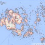
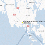
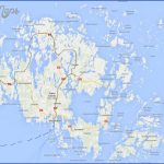
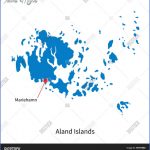
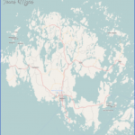
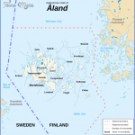
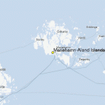
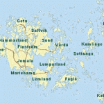
Mariehamn is a popular seaside resort situated on a promontory at the S end of the island. In Norra Esplanadgata, in the middle of the town, stands the church (1927); at 9 Storgata is the Aland Museum. In the W harbour are the Maritime Museum and the four-masted ship Pommern, which is also a museum.
23 km (15 miles) NE of Mariehamn by way of Jomala (old church) is the stronghold of Kastelholm (14th c.), until 1634 the seat of the governor of Aland; it was badly damaged by fire in the mid-18th c. One wing which survived the fire houses the Aland Cultural and Historical Museum. Nearby is the Jan Karlsgar-den Open-Air Museum. The fortress of Bomarsund, 11 km (7 miles) E of Kastelholm, was built by the Russians and destroyed by the British and French during the Crimean War (1854).
23 km (15 miles) N of Mariehamn (via Jomala, then road on left before Kastelholm) stands the 1 5th c. church of Saltvik, one of the oldest on the island. 6 km (4 miles) NE of Saltvik is the Orrdalsklint (132 m 433 ft), the highest point on the island. There is a better view from the Kasberg (116m 381 ft), 10 km (6 miles) N of Saltvik. 20 km (12 miles) N of Mariehamn (beyond Jomala continue to left) lies Finstrom, with a church which
Evening in the Aland Islands contains medieval wall paintings. Another 21 km (13 miles) N is Geta, the most northerly parish on the island.
21 km (13 miles) NW of Mariehamn at Hammerland, there is a church which may date from the 12th c.
15 km (9 miles) SE of Mariehamn is Lemland where, near the ruined Lembote Chapel (13th c.) is to be found a Viking cemetery, one of the largest in the Aland group.
Mariehamn Aland Islands Map Photo Gallery
Maybe You Like Them Too
- The Best Cities To Visit in The World
- World’s 10 Best Places To Visit
- Coolest Countries in the World to Visit
- Travel to Santorini, Greece
- Map of Barbados – Holiday in Barbados

