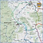
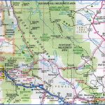
The Vigilante Trail THREE FORKS TO CARDWELL estimated length: 118 miles estimated time: 3 hours to 2 days highlights: Missouri Headwaters State Park, Norris Hot Springs, Madison River, Virginia City, Nevada City, garnet mines, Parrot Castle, Renova Hot Springs, Lewis and Clark Caverns State Park getting there: Because a small section of this loop parallels I-90, there are several options:
Leave the interstate at Whitehall and head south on MT 55 toward Twin Bridges; get off at Cardwell and drive toward Whitehall or La Hood, then exit at US 287 just west of Three Forks; or, start your tour at the Three Forks exit with a visit to Missouri Headwaters State Park.
Coming from the east, you might even leave I-90 at Bozeman and follow US 191 down Main Street through Four Corners to Norris. Regardless, leave plenty of time because few routes pack more unique adventures into 120 miles than this one.
Think Montana mining history, and the yawning holes in the earth around Butte and Anaconda may come to mind. To reach farther back into Montana mining lore, back to the pick-and-shovel days, ply the Vigilante Trail, which has no fewer than six ghost towns within its circumference. The drive surrounds the stately Tobacco Root Mountains, which are littered with rusting mining equipment easily rediscovered by hikers ascending to the range’s sparkling alpine lakes. The ghost towns of Pony (which is still active) and Mammoth (which isn’t) are tucked into this deceptively burly mountain range.
The fulcrum of this route is colorful Virginia City, the Colonial Williamsburg of the West. Once a rootin’-tootin’ territorial capital that was the largest city in the Inland Northwest after the Civil War, today VC boasts the oldest functioning county courthouse in Montana amid authentic buildings still doing business albeit mostly for tourists. Virginia City is at the eastern and uppermost end of what 150 years ago was dubbed Fourteen-Mile City because the community stretched for 14 miles along Alder Gulch to present-day Alder. As you drive between Virginia City and Alder on MT 287, you’ll notice mile after mile and pile after pile of rounded river rock along Alder Creek, almost as if a backhoe were breaking ground for a long strip mall. These are the remnants of placer mining, which entails collecting gold nuggets and flakes on the surface as opposed to hard-rock mining, where shafts or open pits are dug to reach veins underground. The mounds are a result of using hydraulic jets to separate gold from dirt and rocks, a high-tech form of mining that replaced the less intrusive but less effective gold pans. The Alder Gulch placer mines produced more gold than any other region in the Northwest. Because of this prosperity, in its heyday Virginia City had 1,200 buildings, as well as the first school and newspaper in the territory.
The area wasn’t just about mining, though. Before railroad spurs were built to West Yellowstone and Gallatin Gateway, Virginia City was the hub of traffic to Yellowstone National Park. By 1875, as the mines began playing out and settlers migrated, the state capital was moved to Helena. The town rapidly began losing population and fell into disrepair until the 1940s, when a family named Bovey bought much of what remained and began restoration. The entire city became a National Historic Landmark in 1961 and has a multitude of street-side plaques to prove it.
After spending an afternoon or longer walking the wood planks of Virginia City and absorbing all the activities, you might be inclined to take a passing nod at what appears to be little more than a collection of dilapidated frontier buildings and speed right through the blinking yellow light in Nevada City. We advise against it. In many ways, Nevada City captures the essence of Montana’s frontier mining legacy even more than Virginia City, and it is a museum unto itself. There are fourteen original buildings here. The remainder, thanks in great measure to the Boveys, were rescued from just about every corner of the state, including a saddlery from the Indian agency in Fort Benton frequented by celebrated Western artist C. M. Russell.
But there’s much, much more to this route. The Madison River at fly-fishing-centric Ennis is a world-famous trout stream, and the four rivers converging near the bicycle-friendly community of Twin Bridges aren’t far behind in their angling prowess. Lewis and Clark Caverns State Park features the most extensive and accessible labyrinth of limestone caves in the Northern Rockies. Two hot springs, Norris and Renova, offer contrasting experiences: one primitively developed, the other just primitive. And then there’s Three Forks, with its white and pillared Sacajawea Hotel, a choice spot to unwind after a day exploring the site where the mighty Missouri River begins its journey to St. Louis after collecting the waters of the Madison, Jefferson, and Gallatin rivers.
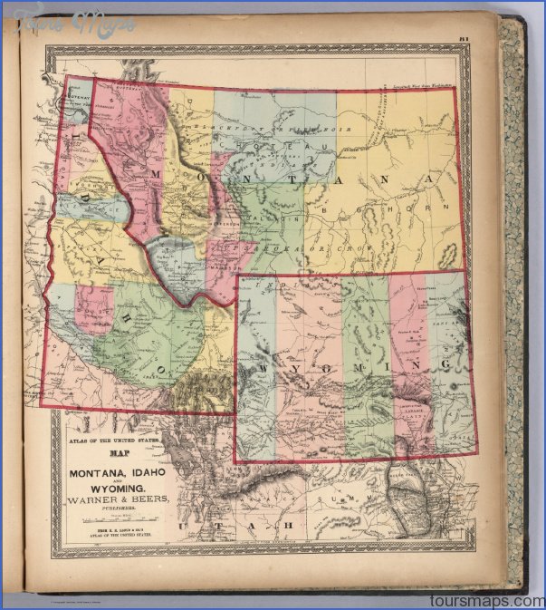
MAP OF MONTANA AND WYOMING Photo Gallery
Maybe You Like Them Too
- The Best Cities To Visit in The World
- World’s 10 Best Places To Visit
- Coolest Countries in the World to Visit
- Travel to Santorini, Greece
- Map of Barbados – Holiday in Barbados

