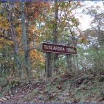
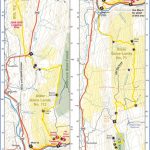
TUSCARORA TRAIL MAP PENNSYLVANIA
105 miles. The Tuscarora Trail runs through southern Pennsylvania, connecting with the Appalachian Trail as well as Maryland’s Big Blue Trail. Terrain along the way
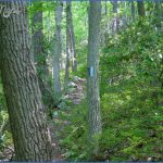
is sometimes rugged, and the underbrush is often thick.
About 40 miles of the trail are on Tuscarora Mountain. It traverses Tuscarora State Forest and Buchanan State Forest, and also passes through two state parks, some state game lands, and private lands. Difficulty ranges from easy to strenuous.
Camping Regulations: There’s just one shelter along the trail, but camping and campfires are allowed elsewhere. Camping is limited to designated sites, however, when the trail is in state parks, on state game lands, and on private lands.
In the state forests camping is allowed almost anywhere, except where posted otherwise. Campsites should be at least 100 feet from the trail and 200 feet from roads, and a permit is required in order to stay for more than one night at a campsite.
For Further Information: Keystone Trails Association, Box 251, Cogan Station, PA 17728. A guidebook to the Tuscarora Trail is available from this trail association.
TUSCARORA TRAIL MAP PENNSYLVANIA Photo Gallery
Maybe You Like Them Too
- Arnold A Town with a Heart
- The Best Cities To Visit in The World
- World’s 10 Best Places To Visit
- Map of New York City – New York City Guide And Statistics
- Map of San Francisco – San Francisco Map Free


