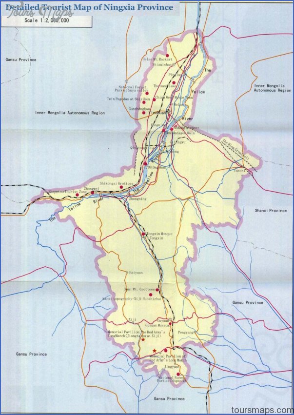
Autonomous region
Area: 66,400sq.km/25,600sq. miles Population: 4,800,000. Capital: Yinchuan
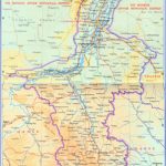
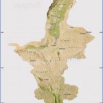
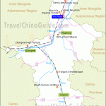
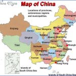
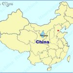
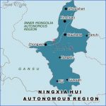
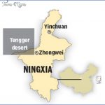
Ningxia is the smallest of the five autonomous regions of China. It lies Situation between 104°17′-107°40’E and 35°14′-39°22’N, in the north-west of the country.
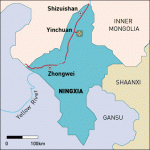
The Huanghe flows through the central and northern parts of the province, which also has a dense network of canals which has been created over many hundreds of years. Three quarters of the territory is composed of high-lying plateaux – with Liupanshan in the south – and the other quarter consists of lowland plains (around Yinchuan). The highest mountain is Helanshan (3556m/11,667ft).
Ningxia is dominated by a typical continental climate with an annual mean temperature of 7°C/45°F. Winters are very harsh indeed (the average January temperature being as low as -10°C/14°F), while the summers are not particularly hot (the average July temperature is 20C/68°F). The annual rainfall is less than 200mm/8in.
The Muslim Hui constitute an ethnic minority which, with 1.2 million people, forms a significant proportion of the population. In addition there are Mongols and Manchurians. Ningxia was declared an autonomous region in 1958.
Since the time ofthe Qin dynasty (221-206 b.c.) Ningxia was assigned to various different administrative areas, until it became a province in its own right in 1928. In 1958 the Autonomous Region of Ningxia Huizu Zizhiqu was formed.
Ningxia’s most significant mineral is coal, while the northern plain, which is well irrigated by a canal system, is regarded as the “granary” of northwest China. Rice, wheat, millet, cotton, sugar-beet and melons are all produced, while the main livestock farmed is sheep.
The many places of interest are concentrated in the capital Yinchuan (see entry) and the surrounding district.
Ningxia Map Photo Gallery
Maybe You Like Them Too
- The Best Cities To Visit in The World
- World’s 10 Best Places To Visit
- Coolest Countries in the World to Visit
- Travel to Santorini, Greece
- Map of Barbados – Holiday in Barbados

