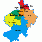
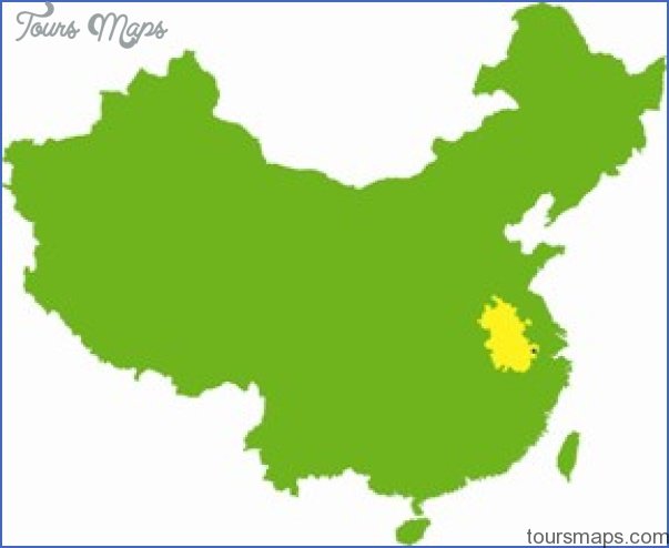
Province: Anhui. Area: 1124sq.km/444sq. miles Population: 456,000 (conurbation 946,000)
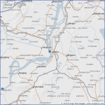
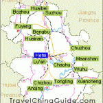
Wuhu lies in some beautiful countryside in the centre of Anhui province, at the confluence of the Qingyijiang and Changjian rivers, 118°22’E and 31°20’N.
It is 130km/80 miles from Nanjing and 140km/87 miles from Hefei, the provincial capital, and is linked by rail, road and water to these and many other Chinese towns and cities.
Wuhu has a history going back more than 2000 years. There was a major settlement here back in the Spring and Autumn period (770-476 B.C.), and it was given its present name during the Han dynasty (206 b.c. to a.d. 220). From the Ming era (1368-1644) onwards it was one of China’s richest trading towns and during the Qing period (1644-1911) it became one of the country’s four largest centres for the transhipment of rice (the other three being Changsha, Jiujiang and Wuxi). The port was opened to external trade in 1876.
Today Wuhu, with its shipyards, iron foundries and many textile and engineering factories, is an important industrial centre.
The crystal-clear waters of the Lake of Mirrors cover an area of 18ha/ 45 acres. In the second half of the 19th c. the lake was for a number of years the very hub of Wuhu’s social life, and its banks were studded with dozens of tea-houses, inns, restaurants and theatres. Today it is still a popular spot for excursions and a leisure centre for the local people, with a library, exhibition building and restaurants.
The Park of the Reddish-brown Mountain stretches over an area of some 4sq.km/11/2sq. miles in the north-west of Wuhu. Two hills of shimmering red give the park its name. The higher of these (86m/282ft) is dominated by a 16th c. pavilion from which there is a wonderful view over the town. The park also has a small zoo.
The Temple of Universal Well-being was built in the 9th c. on the south-west slope of Reddish-brown Mountain. It comprises three halls in an echelon formation on the hillside. The present buildings date from the Qing period (1644-1911).
Priorto climbing the Mountain of the Nine Blossoms, pilgrims would rest in this temple and light joss sticks.
The Mountain of the Nine Blossoms, 150km/93 miles south-west of Wuhu, is one of the Four Holy Mountains revered by Chinese Buddhists (the other three being Mounts Putuoshan in Zheijang province, Emeishan in Sichuan province and Wutaishan in Shanxi province. Its highest point is the Peak of The Ten Kings (Shiwang Feng), which is 1431m/4696ft.
The mountain’s name comes from a poem writen by the Tang poet Li Bai (see Famous People), who compared the nine most beautiful peaks to lotus blossoms. However, its fame goes back much further than that. Large numbers of monasteries were built here in the Eastern Jin period (317-420); there were some 300 in existence in the 17th c., providing accommodation for more than 5000 monks. 56 such sacred buildings still remain and house over 1300 old documents, including seals, letters, calligraphy samples, paintings and Buddhist scripts. Particularly valuable are some palm-leaves from India on which texts from the Sutra were carved 1000 years ago.
The first Temple of Huacheng Si was built in the 8th c.; however, the present buildings – with the exception of Cangjing Lou, which was built between 1426 and 1434- are from the Qing period (1644-1911).
Wuhu Map Photo Gallery
Maybe You Like Them Too
- The Best Cities To Visit in The World
- World’s 10 Best Places To Visit
- Coolest Countries in the World to Visit
- Travel to Santorini, Greece
- Map of Barbados – Holiday in Barbados

