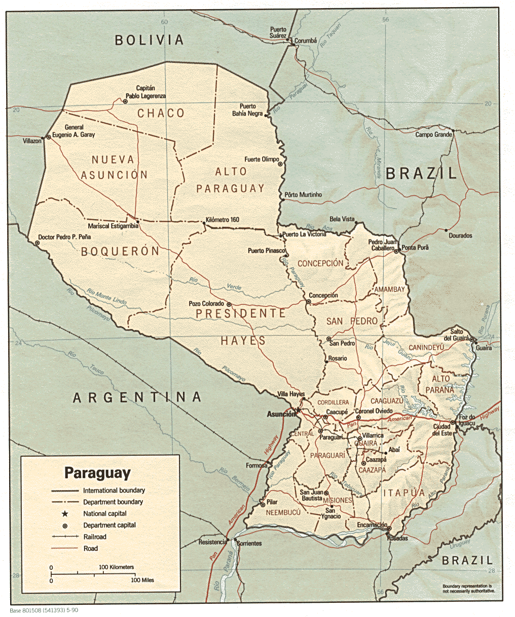
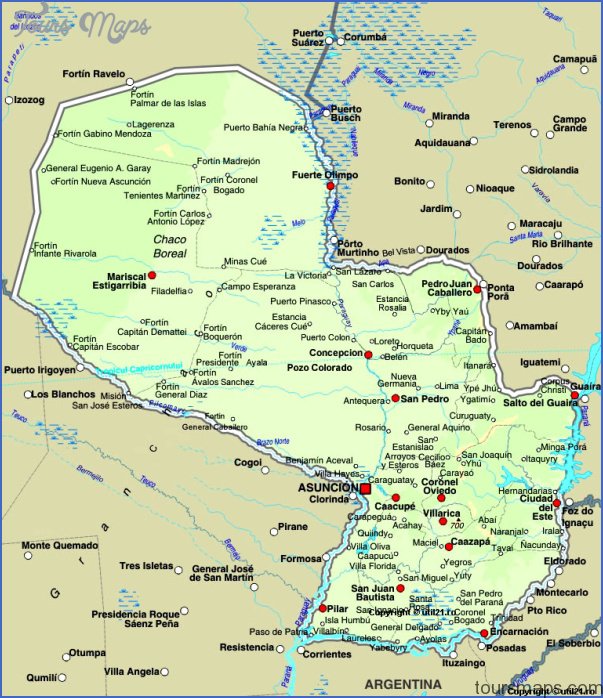
Senatur distributes handy pocket-sized guides called Quick Guides for Asuncion, Encarnacion,
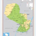
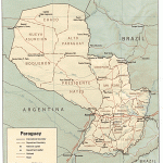
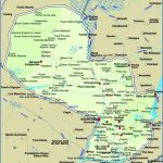
Ciudad del Este, as well as a combination San Bernardino and Villa Florida guide. These include several useful maps as well as some information about upcoming events. Should Senatur offices be out of guides, the Quick Guide website (www.quickguide.com.py) has printable maps.
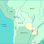
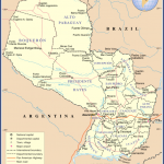
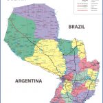
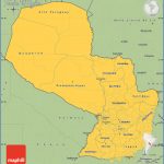
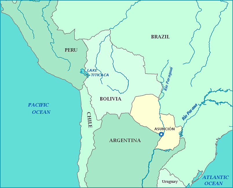
Large scale detailed maps of the entire country are available in Asuncion at the Servicio Geografico Militar at the intersection of Avenida Artigas and Avenida Peru (Tel: 021 205 237, Mon-Fri 7am-5pm). Touring and Automotive Club of Paraguay (TACPY) driving maps for Eastern Paraguay and the Paraguayan Chaco are available at most gas stations. Paraguay’s cities and large towns are also now available on Google maps, though you cannot search for specific directions or addresses and street names are sometimes mislabeled.
Garmin compatible maps of Paraguay are available at www.proyectomapear.comar (Paraguay maps come bundled with Argentina and Chile).
Deciphering Directions & Addresses
When asking for directions keep in mind that many would rather make an educated guess and risk providing inaccurate information than provide no answer and potentially come across as unfriendly. In addition, many Paraguayans are not accustomed to using maps or giving directions using cardinal points or street names. Instead, they rely on easily (usually) visible reference points such as gas stations, sign posts, and water towers. If directions given are vague or the people giving them seem unsure, always get a second opinion – police men and taxi drivers are a good bet (For commonly used terms and questions see the Language Reference).
Because house numbers are often missing or not visible, written addresses usually include reference streets. Common abbreviations for written addresses are as follows:
Esq/: esquina, or corner. Alberdi esq/ Palma is on the corner of Alberdi and Palma.
E/: entre, or in between. Alberdi e/ Palma y Estrella is on Alberdi between Palma and Estrella.
C/: casi, or almost. Alberdi c/ Palma is on Alberdi almost at the corner of Palma.
The ground floor is referred to as planta baja and the next floor up is referred to as the first floor.
Common abbreviations used in street names include:
Tte: Teniente
Mscl: Mariscal
Cnl: Coronel
Grl: General
Av: Avenida
Pte: Presidente
By Air
TAM Mercosur and Sol del Paraguay airlines run flights between Ciudad del Este and Asuncion. This route is the only regional commercial flight within Paraguay. The military transport airline, Transporte Aereo Militar, offers sporadic services between Asuncion, Fuerte Olimpo, and Bahia Negra. Although it can be prohibitively expensive, chartering a small plane is the best option for those seeking to access remote areas of the country (i.e. the northern Chaco) by plane.
Transporte Aereo Militar Tel: 0983 454486 (Sonia Suarez), Aeropuerto Militar, next to the Aeropuerto Internacional Silvio Petirossi
Aero Centro, S.A. Tel: 021 645 380/1/2, Autopista Aeropuerto Internacional No. 555 next to the Aeropuerto Internacional Silvio Petirossi, www.aerocentro.net
By Riverboat
Three passenger boats make regular trips on the Paraguay River between Asuncion, Concepcion, and Bahia Negra, the northernmost town along the river. The Crucero Paraguay passenger boat is a luxury cruise for tourists, while the Aquidaban and Cacique II are passenger and cargo boats. Though crowded and uncomfortable, the latter provide adventurous travelers with a unique way to experience the river. For more information on riverboat travel see The Paraguay River.
Hitchhiking
Hitchhiking is possible, though uncommon, and not recommended for single females. The signal for hitch hiking is to splay your hand and wave it back and forth parallel to the road in the direction of traffic. Hitchhikers are more likely to be picked up in rural areas than along main highways.
Paraguay Maps & GPS Photo Gallery
Maybe You Like Them Too
- The Best Cities To Visit in The World
- World’s 10 Best Places To Visit
- Coolest Countries in the World to Visit
- Travel to Santorini, Greece
- Map of Barbados – Holiday in Barbados

