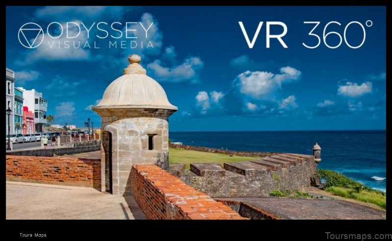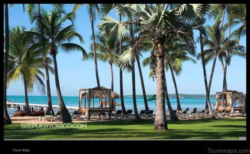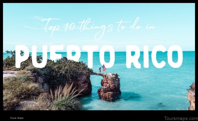
Map of Puerto Rico
Puerto Rico is a Caribbean island that is a U.S. territory. It is located about 1,000 miles southeast of Florida. The island has a population of about 3.2 million people and is the fourth-largest island in the Caribbean.
The capital of Puerto Rico is San Juan. Other major cities include Ponce, Mayagüez, and Arecibo. The island is divided into 78 municipalities.
Puerto Rico has a tropical climate with warm weather year-round. The average temperature is 77 degrees Fahrenheit. The island receives an average of 55 inches of rain per year.
The official language of Puerto Rico is Spanish. However, English is also widely spoken. The island has a rich culture that is a blend of Spanish, African, and Taino influences.
The economy of Puerto Rico is based on tourism, manufacturing, and agriculture. The island is a popular tourist destination for its beaches, rainforests, and historical sites.
Puerto Rico is a U.S. territory, but it is not a state. This means that Puerto Ricans are U.S. citizens, but they do not have the same rights as residents of the 50 states.
Puerto Rico is a beautiful island with a rich culture and history. It is a popular tourist destination and a great place to live.
| Feature | Description |
|---|---|
| Map of Puerto Rico | A map of Puerto Rico showing the island’s location in the Caribbean Sea, its major cities and towns, and its physical features. |
| Geography of Puerto Rico | A description of Puerto Rico’s geography, including its climate, vegetation, and wildlife. |
| Culture of Puerto Rico | A description of Puerto Rico’s culture, including its music, dance, food, and religion. |
| History of Puerto Rico | A description of Puerto Rico’s history, from its pre-Columbian era to the present day. |
| Tourism in Puerto Rico | A description of the tourism industry in Puerto Rico, including its major attractions and activities. |

II. Map of Puerto Rico
Puerto Rico is a Caribbean island located in the northeastern Caribbean Sea. It is a U.S. territory and is the easternmost island of the Greater Antilles. The island has a total area of 3,515 square miles (9,104 square kilometers) and a population of approximately 3.2 million people. Puerto Rico is a popular tourist destination and is known for its beautiful beaches, lush rainforests, and vibrant culture.
The following is a map of Puerto Rico:
III. Geography of Puerto Rico
Puerto Rico is an island located in the Caribbean Sea. It is the smallest of the Greater Antilles, and has a total area of 3,515 square miles (9,104 square kilometers). The island is 100 miles (161 kilometers) long and 35 miles (56 kilometers) wide at its widest point. Puerto Rico’s coastline is 310 miles (499 kilometers) long.
The island is divided into four main regions: the Cordillera Central, the Northern Coastal Plain, the Southern Coastal Plain, and the Western Mountains. The Cordillera Central is a mountain range that runs through the center of the island. The highest point in Puerto Rico is Cerro de Punta, which is 4,390 feet (1,338 meters) above sea level. The Northern Coastal Plain is a flat area that lies along the northern coast of the island. The Southern Coastal Plain is a similar area that lies along the southern coast of the island. The Western Mountains are a range of mountains that lie in the western part of the island.
Puerto Rico has a tropical climate with warm, humid weather year-round. The average temperature in San Juan, the capital of Puerto Rico, is 79 degrees Fahrenheit (26 degrees Celsius). The average annual rainfall is 55 inches (140 centimeters).
Puerto Rico is home to a variety of plant and animal life. The island is home to over 3,000 species of plants, including orchids, palms, and ferns. The island is also home to over 200 species of birds, including the Puerto Rican parrot and the Puerto Rican woodpecker.
Puerto Rico is a popular tourist destination. The island has a rich history and culture, and offers a variety of activities for visitors, including beaches, rainforests, and historical sites.

4. Map of Puerto Rico
Puerto Rico is a Caribbean island located in the northeastern Caribbean Sea. It is a U.S. territory and is the smallest of the Greater Antilles. The island has a total area of 3,515 square miles (9,104 km2) and a population of approximately 3.2 million people. The capital and largest city is San Juan.
The following is a map of Puerto Rico:
The map shows the major cities and towns of Puerto Rico, as well as the major highways and roads. It also shows the island’s two main mountain ranges, the Cordillera Central and the Sierra de Luquillo.
For more information on Puerto Rico, please visit the following websites:
V. Culture of Puerto Rico
The culture of Puerto Rico is a blend of Spanish, African, and Taíno influences. The island’s vibrant culture is reflected in its music, dance, food, and art.
Puerto Rican music is a mix of traditional Spanish and African styles, with influences from other Caribbean cultures. Some of the most popular genres of Puerto Rican music include salsa, bomba, plena, and reggaeton.
Puerto Rican dance is also a blend of Spanish and African traditions. Some of the most popular dances include the bomba, the plena, and the merengue.
Puerto Rican food is a fusion of Spanish, African, and Taíno cuisine. Some of the most popular dishes include arroz con gandules (rice with pigeon peas), lechón asado (roast pork), and mofongo (mashed plantains with pork).
Puerto Rican art is a reflection of the island’s rich culture and history. Some of the most famous Puerto Rican artists include Francisco Oller, Lorenzo Homar, and Myrna Báez.
6. Map of Puerto Rico
Puerto Rico is a Caribbean island located in the northeastern Caribbean Sea. It is a U.S. territory and has a population of over 3 million people. The island is about 3,500 square miles in size and is home to a diverse landscape of mountains, forests, beaches, and cities.
The following map shows the location of Puerto Rico in the Caribbean Sea.
The capital of Puerto Rico is San Juan, which is located on the northern coast of the island. Other major cities include Ponce, Mayagüez, and Arecibo.
Puerto Rico is divided into 78 municipalities, each of which has its own government. The municipalities are further divided into barrios, which are similar to neighborhoods.
Puerto Rico has a rich history that dates back over 500 years. The island was first inhabited by the Taíno people, who were a peaceful agricultural society. In 1493, Christopher Columbus landed on the island and claimed it for Spain. Spain ruled Puerto Rico for over 400 years, during which time the island was home to a diverse population of Spanish, African, and Taíno people.
In 1898, the United States acquired Puerto Rico as a result of the Spanish-American War. Puerto Rico became a U.S. territory in 1917 and has been granted commonwealth status since 1952.
Today, Puerto Rico is a popular tourist destination, known for its beautiful beaches, lush rainforests, and vibrant culture. The island is also home to a number of important industries, including tourism, manufacturing, and agriculture.
VII. Government of Puerto Rico
The government of Puerto Rico is a democratic republic with a presidential system. The executive branch is headed by the governor, who is elected by popular vote for a four-year term. The legislative branch is bicameral, consisting of the Senate and the House of Representatives. The judicial branch is headed by the Supreme Court of Puerto Rico.
The government of Puerto Rico is responsible for a wide range of public services, including education, healthcare, and public safety. It also plays a major role in the economy, through taxation and regulation.
The government of Puerto Rico is a complex and multifaceted institution. It is constantly evolving and adapting to the needs of the people it serves.
Map of Puerto Rico
Puerto Rico is a Caribbean island that is a U.S. territory. It is located in the northeastern Caribbean Sea, east of the Dominican Republic and west of the Virgin Islands. The island has a total area of 3,435 square miles (8,900 km2) and a population of approximately 3.2 million people. Puerto Rico is a mountainous island with a diverse landscape that includes rainforests, beaches, and coral reefs. The capital of Puerto Rico is San Juan.
The following is a map of Puerto Rico:
IX. Tourism in Puerto Rico
Puerto Rico is a popular tourist destination, with over 4 million visitors per year. The island offers a variety of attractions, including beautiful beaches, historical sites, and cultural attractions.
Some of the most popular tourist destinations in Puerto Rico include:
- Old San Juan
- El Yunque National Forest
- Culebra Island
- Vieques Island
- The Santuário de la Virgen de la Caridad
Puerto Rico is also home to a number of festivals and events that attract visitors from all over the world. Some of the most popular festivals include:
- The San Sebastián Street Festival
- The Ponce Carnival
- The Puerto Rico Salsa Festival
- The Puerto Rico Jazz Festival
The tourism industry is a major contributor to the economy of Puerto Rico, and it is expected to continue to grow in the years to come.
FAQ
Q1: What is the capital of Puerto Rico?
A1: The capital of Puerto Rico is San Juan.
Q2: What is the population of Puerto Rico?
A2: The population of Puerto Rico is approximately 3.2 million people.
Q3: What is the official language of Puerto Rico?
A3: The official language of Puerto Rico is Spanish.
Table of Contents
Maybe You Like Them Too
- Explore Angleton, Texas with this detailed map
- Explore Blavozy, France with this detailed map
- Explore East Lindfield, Australia with this detailed map
- Explore Bonferraro, Italy with this detailed map
- Explore Doncaster, United Kingdom with this detailed map
