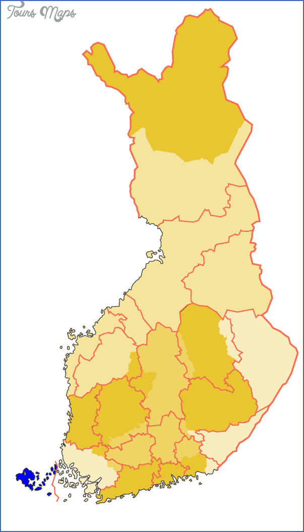
Autonomous region of Aland (Ahvenanmaan maa-kunta).
Area: 1505 sq. km. (580sq. miles).
Population: 21,000.
Postal code: SF-22100.
Telephone code: 928.
TRANSPORTATION. Car ferries from Stockholm, Grisslehamn, Simpnes and Kapellskar (Sweden) and from Turku and Naantali (Finland). In summer air services from Stockholm, Helsinki, Turku and Hamburg.
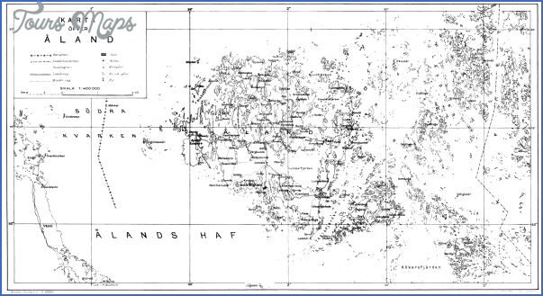
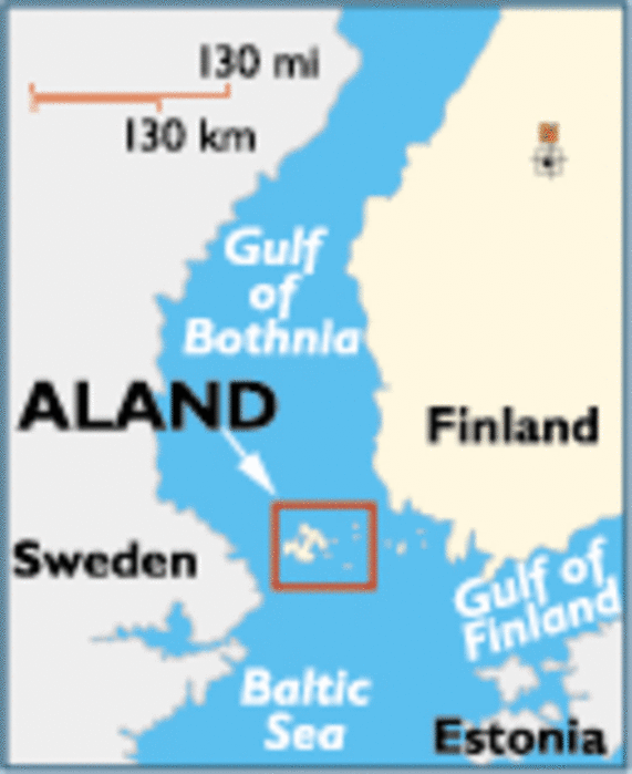
The Aland Islands (Finnish Ahvenanmaa) lie between Finland and Sweden at the S end of the Gulf of Bothnia, which they separate from the Baltic Sea. To the W of the islands, towards Sweden, is the Aland Sea, some 40 km (25 miles) across; to the E is the arm of the sea known as Skiftet. The group consists of 6554 islands and columns of rock with a total area of 1505 sq. km (580 sq. miles); only 80 islands are inhabited. They are a popular vacation area, particularly with Swedes.
The islands became part of Russia in 1809 together with the rest of Finland. After the First World War there was a movement for union with Sweden. But in 1921 the islands were assigned by the League of Nations to Finland, and the population was granted full self-government, permanent demilitarisation and the exclusive use of the Swedish language. The main sources of income are shipping (second largest tonnage in Finland), agriculture and tourism. The islanders are proud of their independence and do not like to be referred to as Finns.
On the main island of Aland is the only town in the group, Mariehamn (Finnish Maarianhamina: pop. 9600; hotels: Arki-pelag, 220 bž SP, SB; Adlon, 220 bž SB; Park, 104 SB; Pommern and Passat, 134 bž SP; Strandnas Motel, 250 SP).
Aland Islands Ahvenanmaa Map Photo Gallery
Maybe You Like Them Too
- The Best Cities To Visit in The World
- World’s 10 Best Places To Visit
- Coolest Countries in the World to Visit
- Travel to Santorini, Greece
- Map of Barbados – Holiday in Barbados