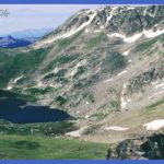
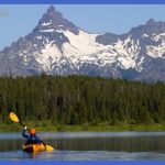
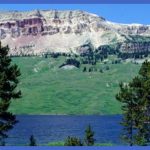
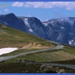
NOTE: Road construction may delay trac on segments of this highway for the next several years. The Beartooth Highway, open only between Memorial Day weekend and early October, covers the 70 miles (113 km) between Red Lodge and Yellowstone’s Northeast Entrance. In American Places (1993), novelist and Western environmentalist Wallace Stegner wrote: Yesterday, coming over the Beartooth Scenic Highway . . . we looked across from the 11,000-foot comb of Beartooth Pass and saw not a town, not a ranch, not a cabin, not a road or pole line, not a smoke, only miles beyond miles of forested mountains, shark-tooth peaks, the turquoise sets of lakes, bare stone, snow, wildness, serenity, the blue of distance. You’ll traverse parts of three national forests between Red Lodge and Cooke City: Custer National Forest near Red Lodge, Gallatin National Forest near Cooke City, and Shoshone National Forest in Wyoming.
This unique road first follows Rock Creek out of Red Lodge and in 8 miles (13 km) enters Custer National Forest, where there are four campgrounds on Rock Creek Road. A serious wildfire burned part of this area in August 2000. Where Rock Creek comes down from the mountains, its valley shows the U-shape typical of a valley carved out by glaciers, with the stream at the bottom of the U. U.S. 212 leaves the valley and climbs by way of five major switchbacks or horseshoe curves, partly following a Crow path dating from the 19th century. It was considered an engineering miracle when opened in 1936. Notice how the quick change in altitude makes About 20 miles (32 km) from Red Lodge, you reach the Rock Creek Vista Point and restrooms. You can take the short accessible walkway to a fine view of upper Rock Creek Canyon and the mountains and plateaus to the west. Between here and the summit of the highway, another deposit was tapped for chromite in the 1940s. Near the east summit, you’ll see where winter sports enthusiasts mount their snowmobiles or take the (experts only!) ski lift.
Several trails lead from both sides of the summit to the sparkling lakes of the Absaroka-Beartooth Wilderness high country. In this rarified atmosphere, the animals you’re most likely to see are the yellow-bellied marmot (related to the woodchuck) and the tiny pika, a tailless, round-eared animal. (See the Living Things chapter for more about the animals and plants of the mountain passes.) In July and early August, the wildflowers are marvelous; stop at turnouts to get a closer look. It’s is arctic tundra. Nevertheless, you can find miniature and brilliantly colored flowers, including forget-me-nots, bluebells, moss campions, and occasionally the bitterroot, state flower of Montana. There’s snow near Beartooth Pass all year. The road is not fully plowed until late May or early June; at that time, you may be traveling through white canyons higher than your car (see picture, 322). A little later in the summer, the snow may be pink, indicating the presence of a microscopic plant that grows on its surface and makes its meltwater unsafe to drink.
Upon crossing the Montana/Wyoming state line, you enter Shoshone National Forest, which has surprisingly few trees. Timberline at this latitude is about 10,000 feet (3000 m). On windy slopes below timberline, you’ll find only the stunted trees called krummholz. It’s always windy and many degrees cooler up here than in nearby valleys. At the West Summit you might want to take the short side road to the top of the ridge for wonderful views of the Absaroka Range, especially to the southwest.
THE BEARTOOTH SCENIC BYWAY Photo Gallery
Maybe You Like Them Too
- The Best Cities To Visit in The World
- World’s 10 Best Places To Visit
- Coolest Countries in the World to Visit
- Travel to Santorini, Greece
- Map of Barbados – Holiday in Barbados

