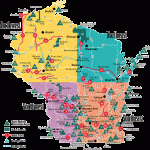
BUCKHORN STATE PARK MAP WISCONSIN
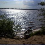
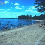
3,200 acres. Situated in the south-central part of the state, at the intersection of the Wisconsin and Yellow Rivers, this park includes a number of islands and some sandy beaches.
Activities: Hiking and backpacking are possible on about five miles of trails. Some of the trails are suitable for cross-country skiing in winter. Canoeing is available on the rivers, as is fishing. Hunting is permitted in season.
Camping Regulations: Nine backpack campsites are located along the rivers, and accessible on foot or by canoe. A fee is charged for camping each night. Reservations are available in person or by mail, and are recommended for summer weekends. Campfires are allowed in fire rings.
For Further Information: Buckhorn State Park, West 8450 Buckhorn Park Avenue, Necedah, WI 54646; (608)565-2789.
BUCKHORN STATE PARK MAP WISCONSIN Photo Gallery
Maybe You Like Them Too
- Explore Góra Kalwaria, Poland with this detailed map
- Explore Gumdag, Turkmenistan with this detailed map
- Explore Telfes im Stubai, Austria with this detailed map
- Explore Langenselbold, Germany with this detailed map
- Explore Krotoszyn, Poland with this detailed map

