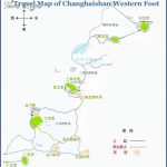
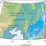
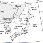
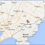
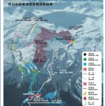
The nature reserve of Changbaishan is the largest such area in China, covering 220,000ha/850sq. miles. It begins 250km/155 miles south-east of Jilin and extends to the Korean border.
It formed part of UNESCO’s international nature protection scheme. The rocks of Changbaishan have a white shimmer, hence the area’s name (changbai “always white”).
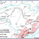
In the park there are over 1500 plants and about 300 types of animal, including martens, tigers, leopards and deer. To reach the nature reserve travel from Jilin to Erdobaihe and thence by bus.
One ofthe most beautiful peaks in Changbaishan is White Head Mountain (2155m/7070ft), an extinct volcano.
On the summit of White Head Mountain lies the famous 9.2sq.km/3.6sq. mile Heaven Lake, a crater over 300m/1000ft deep, which formed during a volcanic eruption in 1702 and then filled with water. The lake, which has an average depth of 204m/669ft and is surrounded by steep rocks, is frozen over for half the year. A monster is supposed to live here.
An opening on the north bank ofthe lake releases large amounts of water which, at an altitude of 1250m/4100ft, plunge 68m/223ft into an abyss, thereby forming the famous waterfall known as the Changbai Pubu. This water supplies the Erdao Baihe, one of the two source rivers of the Songhuajiang.
On the north side of Baitoushan there is an extensive area of thermal springs, about 900m/half a mile away from the waterfall, which reach temperatures as high as 82;C/180;F.
Changbaishan Map Photo Gallery
Maybe You Like Them Too
- The Best Cities To Visit in The World
- World’s 10 Best Places To Visit
- Coolest Countries in the World to Visit
- Travel to Santorini, Greece
- Map of Barbados – Holiday in Barbados

