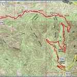
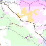
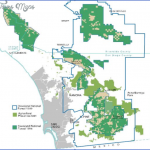
CLEVELAND NATIONAL FOREST MAP CALIFORNIA
419,841 acres. Consisting of tracts in southern California, including one near the Mexican border, Cleveland National Forest is in an arid region of low mountain ranges and deep canyons with seasonal streams. Elevations run as high as 6,000 feet.
There are areas of chaparral, pine-oak woodlands, and forests of conifers at higher elevations. Wildlife includes mule deer, mountain lion, coyote, and bobcat.
Four wilderness areas are found here: the 39,540-acre San Mateo Canyon Wilderness, the 15,900-acre Agua Tibia Wilderness, the 13,000-acre Pine Creek Wilderness, and the 8,000-acre Hauser Wilderness.
Activities: Hiking and backpacking are available on about 200 miles of trails, including a section of the Pacific Crest Trail (see entry page 113). Difficulty varies from easy to strenuous.
Horseback riding is allowed on most trails. Cross-country skiing is possible on some of the higher trails during winter. Fishing is another option, and hunting is permitted in season.
Camping Regulations: Camping is allowed in major portions of the National Forest, but is restricted or prohibited in some areas. Campsites should be at least 100 feet from water sources and meadows. A fire permit is necessary in order to have a campfire or use a stove.
I A free wilderness permit, which may be obtained from ranger stations or by mail or phone, is required for camping in all designated wilderness areas. Campfires are prohibited in the wilderness areas, but a stove may be used.
For Further Information: Cleveland National Forest, 880 Front Street, San Diego, CA 92188; (619)557-5050.
CLEVELAND NATIONAL FOREST MAP CALIFORNIA Photo Gallery
Maybe You Like Them Too
- Arnold A Town with a Heart
- The Best Cities To Visit in The World
- World’s 10 Best Places To Visit
- Map of New York City – New York City Guide And Statistics
- Map of San Francisco – San Francisco Map Free

