DINOSAUR VALLEy STATE PARK MAP TEXAS
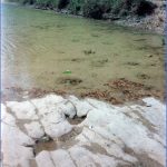
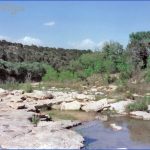
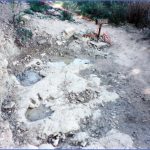
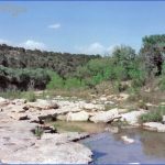
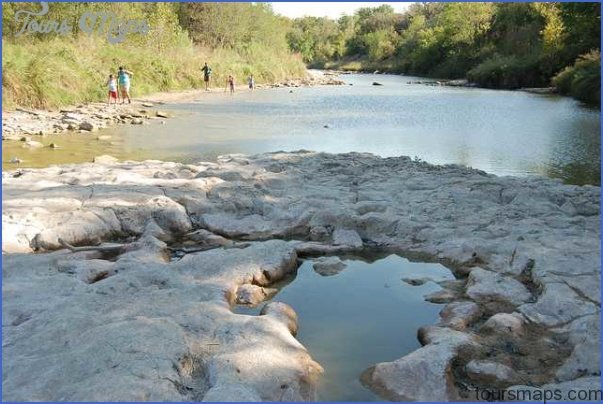
Noted for its fossil dinosaur tracks, this state park in north-central Texas includes a stretch of the Paluxy River, with limestone outcrops, There are mixed stands of trees here, as well as prairie grasslands. White-tailed deer, coyote, bobcat, and wild turkey are among the park’s wildlife.
Activities: Hiking and backpacking are available on 5 miles of trails. Fishing is also possible along the river.
Camping Regulations: There are seven primitive camping areas for backpackers, and camping is restricted to these sites. Campfires are prohibited. A stove may be used for cooking.
For Further Information: Dinosaur Valley State Park, P.O. Box 396, Glen Rose, TX 76043; (817)897-4588.
DINOSAUR VALLEy STATE PARK MAP TEXAS Photo Gallery
Maybe You Like Them Too
- Arnold A Town with a Heart
- The Best Cities To Visit in The World
- World’s 10 Best Places To Visit
- Map of New York City – New York City Guide And Statistics
- Map of San Francisco – San Francisco Map Free

