LAKE TAHOE BASIN MANAGEMENT UNIT MAP CALIFORNIA
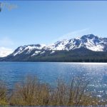
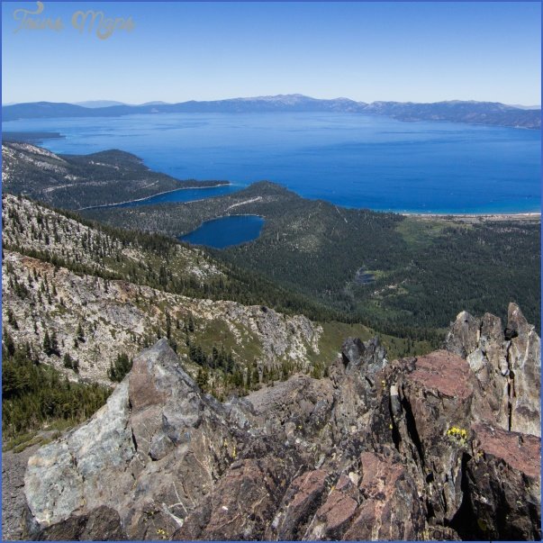
148,000 acres. Located in north-central California, this Forest Service unit was established to protect the lands surrounding famous Lake Tahoe, a 22-mile-long and 6,225-feet-high alpine lake. There’s been considerable development nearby.
Elevations in the area are up to 10,000 feet. Included in the unit are small portions of the 63,475-acre Desolation Wilderness, the 105,165-acre Mo-kelumne Wilderness, and the Granite Chief Wilderness.
Activities: There are over 100 miles of trails for hiking and backpacking, including sections of the new Tahoe Rim Trail (see entry page 113), plus many additional trails in the surrounding National Forests.
Horses are allowed on most trails, as are mountain bikes on trails outside of designated wilderness areas. Cross-country skiing is available in winter. White-water rafting and kayaking are possible on several rivers, as is fishing. Hunting is permitted in season.
Camping Regulations: Camping is allowed in much of the region, except where posted otherwise. A fire permit is required in order to build a campfire or use a stove. Campsites should be at least 100 feet from water sources.
A wilderness permit is necessary in order to enter and camp in the Desolation and Mokelumne Wilderness areas, but not the Granite Chief Wilderness. Permits may be obtained in person or by mail. Quotas are in effect from June 15 through Labor Day. Reservations are available up to 90 days in advance for 50 percent of the permits. Campfires are prohibited in the Desolation Wilderness, but stoves may be used.
For Further Information: Lake Tahoe Basin Management Unit, 870 Emerald Bay Road, Suite 1, South Lake Tahoe, CA 96150; (916)573-2600.
LAKE TAHOE BASIN MANAGEMENT UNIT MAP CALIFORNIA Photo Gallery
Maybe You Like Them Too
- Arnold A Town with a Heart
- The Best Cities To Visit in The World
- World’s 10 Best Places To Visit
- Map of New York City – New York City Guide And Statistics
- Map of San Francisco – San Francisco Map Free

