Provinces: Varmlands Ian, Alvsborgs Ian, Skaraborgs Ian.
Regions: Varmland, Dalsland, Vastergotland.
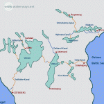
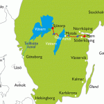
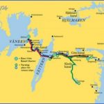
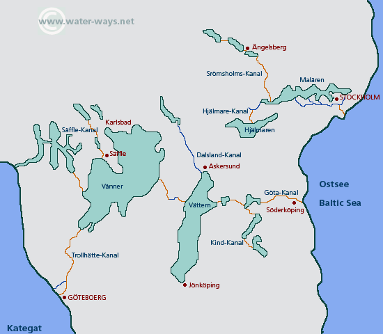
Lake Vanern, Sweden’s largest lake (area 5546 sq. km 2170 sq. miles), lies in a tectonic basin in the S ofthe country, to the NW of the road from Goteborg to Orebro. It is divided by the Varmlandsnas and K&llands-halvo peninsulas, the island of Kallandso and a number of small islets into two parts, Stora Vanern to the NE and the Dalbosjo to the SW. Its greatest depth is 98 m (320 ft). The hilly nature ofthe surrounding country leads to a fall in the water level of the lake of about 8 cm (3 in.) per century.
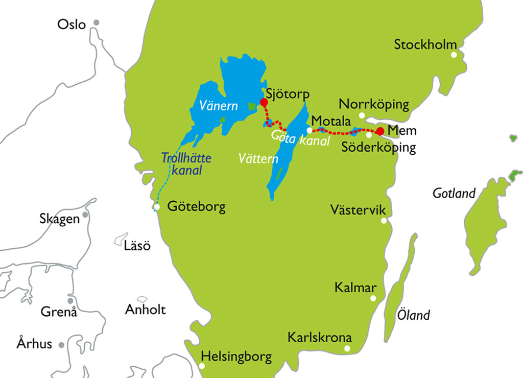
Plans for regulating the lake were considered in the 16th c. but were not carried through on a large scale until 1938. There is now a heavy shipping traffic on the lake, largely because of the link it provides between the Kattegat and the Baltic, by way of Trollhattan and the Gota Canal.
Circular Tour of Vanern. For motorists coming from Gothenburg, the start of the tour is at Trollhattan. Those coming from Stockholm via Orebro can join the route described below at Kristinehamn, at the NE corner of the lake.
Trollhattan (pop. 42,000; Stadshotellet, 76 Trollhattan, 70 Stromsbergs Turiststation, 54 Bele, 80 b.), on the Gotaalv, is an industrial town which received its charter only in 1916, although evidence of human occupation here dates back 7000 years. The name first appears in 1413, in the tax records of King Eric of Pomerania; the records state than corn was ground for the castle by the Trollhattan mill. The mills and sawmills of earlier times have now given way to such well-known industrial enterprises as Saab and Nohab, electro-chemical plants and engineering works.
The once-renowned Trollhattan Falls, where the Gotaalv has forced its way through a ridge of gneiss, formerly surged down from a height of 38-5 m (126 ft) to 5-7 m (19 ft) over a distance of 1500 m (1600 yds),
Typical Swedish lake scenery on Lake Vanern but are now almost dry. In the month of July, when the water level in Lake Vanern usually makes it possible to direct water over the falls, they can be seen in their former magnificence on Waterfall Day (mid-July). The huge masses of water which once poured over the falls are now conveyed in underground tunnels to the power station. The Trollhattan Falls have been a problem since the mid-17th c. because they were an obstacle to the creation of a navigable waterway to Norway, and thus to the North Sea, for which the Gotaalv provided a basis. To correct this, Christoffer Polhem was commissioned by Charles XII to construct a waterway with eight locks to bypass the falls; but work on the project was halted in 1755, and it was not completed until 1800. Since this canal did not meet the increased demand created by developing industries, it was enlarged in 1844 by the railway engineer, Nils Ericsson. The latest change was in 1916, when a new canal with four locks (height difference 32 m 105 ft) came into use. About 20,000 vessels now pass through the locks every year. Visitors can see the locks and Oliden power station. Other features of interest in the town are the open-air museum, in a nature park, and the King’s Cave (Kungsgrottan) at the E end of Kong Oscars Bro (King Oscar’s Bridge). There is a fine view of the town from Kopparklinten.
Vanersborg (pop. 20,000; Esso Motor Hotel, 177 SB; Stadshotell, 50 Grand, 50 youth hostel), at the northern tip of a promontory reaching out into the lake, is the main town of Alvsborg province. It has an attractive lakeside promenade, Birger Sjobergsvej, with Skracklan Park. Here, too, is a statue by
Axel Wallenberg, Frida a figure much celebrated in song. Nearby is the Museum, with material on the history of the town and a collection of exotic birds presented by the explorer, Axel Ericson. In the middle of the town are a number of handsome 18th c. buildings, among then the Governor’s Residence (Carl HSrle-man, 1754). Nearby is the church (1780).
Lake Vanern Sweden Map Photo Gallery
Maybe You Like Them Too
- The Best Cities To Visit in The World
- World’s 10 Best Places To Visit
- Coolest Countries in the World to Visit
- Travel to Santorini, Greece
- Map of Barbados – Holiday in Barbados

