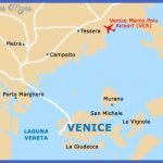
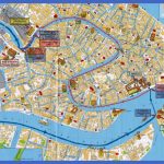
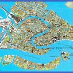
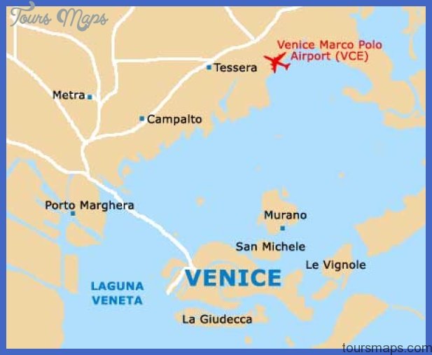
Venice (324,000 inhabitants), the capital of the region of Veneto, was built on 118 islands in the Gulf of Venice, separated from the sea by juts of land. Once the world’s most splendid commercial center it belongs to the major tourist attractions all over the world today. The city’s traffic artery is the famous Canal Grande, which is 3.8 km long and lined with an abundance of splendid palaces and structures reflecting all architectural styles from the 12th to the early 18th centuries, particularly the Venetian-Gothic style with its marvellous arcaded columns. The quarter of San Marco is the very heart of this city built on piles between 150 canals. Piazza San Marco with St. Mark’s Cathedral (9th c.) and the Gothic Doge Palace (14th/15th c.) is regarded as one of the world’s most beautiful squares. AET recommends one to explore Venice away from the tourist masses between San Marco and Rialto: Especially the Ghetto (left of the Santa Lucia train station) or the Zattere. If there is time one could do a little ‘island hopping’: Torcello (cathedral from 7 cent., Locanda Cipriani), San Erasmo (Venice’s kitchen-garden), Burano, Murano (glass makers’ island). Venice’s industry is concentrated on the mainland in Mestre and Marghera.
Map of Venice Photo Gallery
Maybe You Like Them Too
- Explore Nevestino, Bulgaria with this Detailed Map
- Explore Pulau Sebang Malaysia with this Detailed Map
- Explore Southgate, Michigan with this detailed map
- Explore Les Accates, France with this Detailed Map
- Explore Góra Kalwaria, Poland with this detailed map

