MID STATE TRAIL MAP PENNSYLVANIA
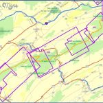
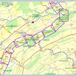
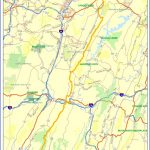
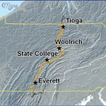
168 miles. The Mid State Trail crosses a portion of central Pennsylvania, following rocky and narrow ridges through several state forests, along with some state parks and state game lands. There are many views. Difficulty ranges from easy to strenuous.
Camping Regulations: Much of the trail is on state forest lands. Here camping and campfires are generally allowed, except where posted otherwise. Campsites should be at least 100 feet from the trail and 200 feet from roads. A permit is required only if one wishes to stay for more than one night at any campsite.
Camping is prohibited in some locations, such as the designated state forest Natural Areas which the trail passes through. It’s also not allowed on state game lands. Camping is restricted to campgrounds in the state parks.
For Further Information: Mid State Trail Association, P.O. Box 167, Boalsburg, PA 16827. A trail guidebook with maps is available from this organization.
MID STATE TRAIL MAP PENNSYLVANIA Photo Gallery
Maybe You Like Them Too
- Arnold A Town with a Heart
- The Best Cities To Visit in The World
- World’s 10 Best Places To Visit
- Map of New York City – New York City Guide And Statistics
- Map of San Francisco – San Francisco Map Free

