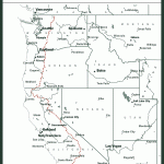
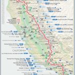
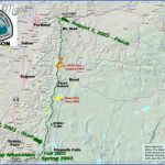
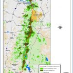
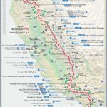
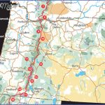
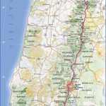
PACIFIC CREST TRAIL MAP OREGON
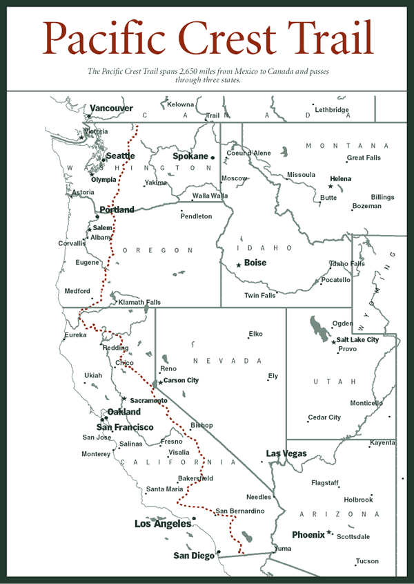
462 miles in Oregon (2,638 total). This important National Scenic Trail traverses some of the wildest, most spectacular, and most remote mountain scenery of Washington, Oregon, and California, with many magnificent views available along the way.
The trail stays mainly in the Cascades as it crosses Oregon, running from the Washington-Or-egon border at the Columbia River to the California line. Most of the time it’s on National Forest lands, and it also passes through Crater Lake National Park.
Difficulty ranges from easy to very strenuous. Sections of the trail at high elevations are likely to be snow-free only during August and September. Horses are allowed on the trail.
Camping Regulations: Camping is allowed almost anywhere on National Forest lands along the trail, except where posted otherwise. Campsites should be well off the trail and away from water sources.
self-issuing permit is required for Crater Lake National Park, and this permit may be obtained at the two locations where the trail enters the park. Campfires are allowed along most stretches of the trail in this state, but a stove is recommended.
For Further Information: Pacific Crest Trail Conference, 365 West 29th Avenue, Eugene, OR 97405.
PACIFIC CREST TRAIL MAP OREGON Photo Gallery
Maybe You Like Them Too
- Arnold A Town with a Heart
- The Best Cities To Visit in The World
- World’s 10 Best Places To Visit
- Map of New York City – New York City Guide And Statistics
- Map of San Francisco – San Francisco Map Free

