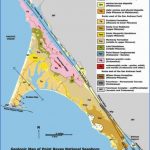
POINT REYES NATIONAL SEASHORE MAP CALIFORNIA
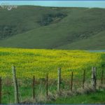
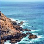
65,303 acres. Point Reyes National Seashore is on the California coast a short distance north of San Francisco. This area has beautiful beaches, bays, lagoons, and high cliffs, and includes 1,407-foot Mount Wittenberg on the Inverness Ridge.
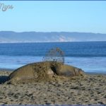
A sizable portion consist of wilderness. There are forests of fir and pine, plus some grasslands. Among the wildlife are deer, mountain lion, and bobcat, with marine life off the coast.
Activities: The National Seashore has more than 75 miles of trails for hiking and backpacking. Difficulty varies from easy to strenuous. Many trails are open to horses. Mountain bikes are allowed on a few trails outside of the wilderness areas.
Camping Regulations: Camping is restricted to four backcountry camps. A free permit is required, and may be obtained from the visitor center. Maximum stay allowed is four nights. Wood fires are prohibited except on beaches. Pets are not allowed.
For Further Information: Point Reyes National Seashore, Point Reyes, CA 94956; (415)663-1092.
POINT REYES NATIONAL SEASHORE MAP CALIFORNIA Photo Gallery
Maybe You Like Them Too
- Explore Les Accates, France with this Detailed Map
- Explore Góra Kalwaria, Poland with this detailed map
- Explore Gumdag, Turkmenistan with this detailed map
- Explore Telfes im Stubai, Austria with this detailed map
- Explore Langenselbold, Germany with this detailed map

