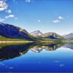
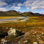
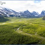
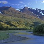
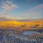
This is the most northerly region in Sweden, the largest, with an area of
120,000 sq. km (46,000 sq. miles), and the most sparsely populated. It extends for 600 km (370 miles) from N to S, with a width of 250 km (150 miles). The land rises from E to W in a series of plateau-like steps. Towards the Norwegian frontier is a
Riksgransen (alt. 552 m (1811 ft); Lapplandia Hotel, 218 b.), the last Swedish station on the Lapland railway (54), is a tourist area and Sweden’s leading summer skiing resort (chair-lift). It frequently has temperatures of 1 5-20 °C (60-70 °F) while the snow is at freezing point. Nearby is Bjdrkliden, on Lake Tornetrask, with good skiing and a chairlift to 750 m (2460 ft) on Njulla (1199 m 3934 ft). Tornetrask, at the head of the Tornealv, is surrounded by high crags.
On the Royal Trail Lapp settlements are scattered on the N side of the lake. The Royal Trail (Kungsleden), a 393 km (244 miles) long footpath (time required 22-25 days; experienced walkers only; maps, compass, rubber boots, etc.), runs through the mountain region of Lapland, with overnight accommodation in mountain huts and tourist facilities. It extends from Abisko (54) in the N by way of the Kebnekaise range (161) and southern Lapland to Tarnaby. There is a tourist base at Abisko. Visitors should not fail to see Abisko National Park, with its unusual vegetation, and the Njulla gorge (reached by chair-lift).
The National Park of Stora Sjofallet, with a waterfall on the Stora Lulealv, is Sweden’s third largest nature reserve. The Stora Lulealv rises in this hilly region, slashed by numerous valleys, and reaches its highest point in Akka (201 5m- 6611 ft). The National Park, established in 1909, extends from the coniferous forests in the E over a mountain region of varying height and a variety of animal and plant life. The nature reserve originally covered an area of 1 500 sq. km (580 sq. miles), but after ten years 120 sq. km (45 sq. miles) around the lake were released to permit the construction of a dam for the Porjus hydroelectric station. The waterfall giving its name to the park is formed by the water of the mountain lake Kartjejaure pouring into Lake Langas. The falls are at their best when the water level is high.
The Royal Trail (see above) runs through the National Park. Hunting and fishing are prohibited.
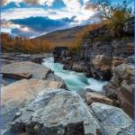
Sarek is another typical mountain region containing a National Park (1950 sq. km 750 sq. miles), between the Stora and the Lilia Lulealv. It has about a hundred glaciers, 87 peaks over 1800 m (5900 ft) and 8 others over 2000 m (6500 ft), with plateaux and valleys between the hills. The best known valley is the Rapadal, on Lake Laidaure. Hunting and fishing are prohibited; sleigh-dogs may be used from January to April, but otherwise dogs are banned. The Rapaalv flows down the Rapadal, receiving melted water from 30 glaciers and depositing its sediment in the Laidaure delta. There is a remarkable contrast between the barren world of the mountains and the rich plant and animal life in the valley. To the W is Alkavare, where silver was mined into the late 17th remains of silver-mines, chapel of 1788. The Sarek nature reserve was established in 1909 to preserve this striking mountain region. A mountain walk through the National Park takes a full week, and should be undertaken only by experienced hill walkers, with proper equipment, tents and adequate supplies of food.
SWEDISH LAPLAND Swedish Lappland Photo Gallery
Maybe You Like Them Too
- The Best Cities To Visit in The World
- World’s 10 Best Places To Visit
- Coolest Countries in the World to Visit
- Travel to Santorini, Greece
- Map of Barbados – Holiday in Barbados

