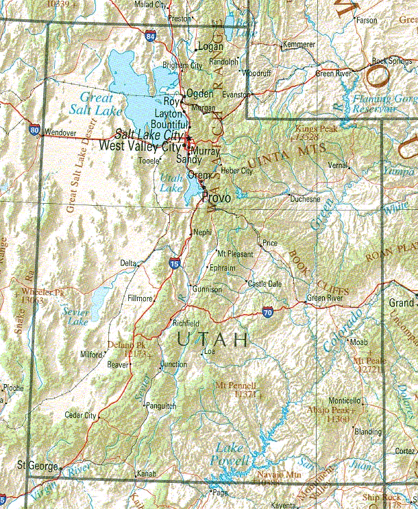
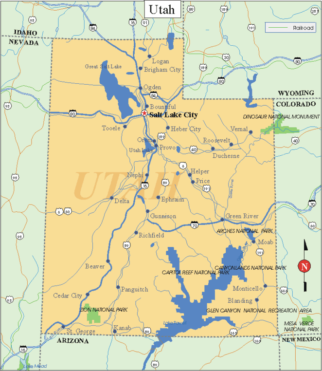
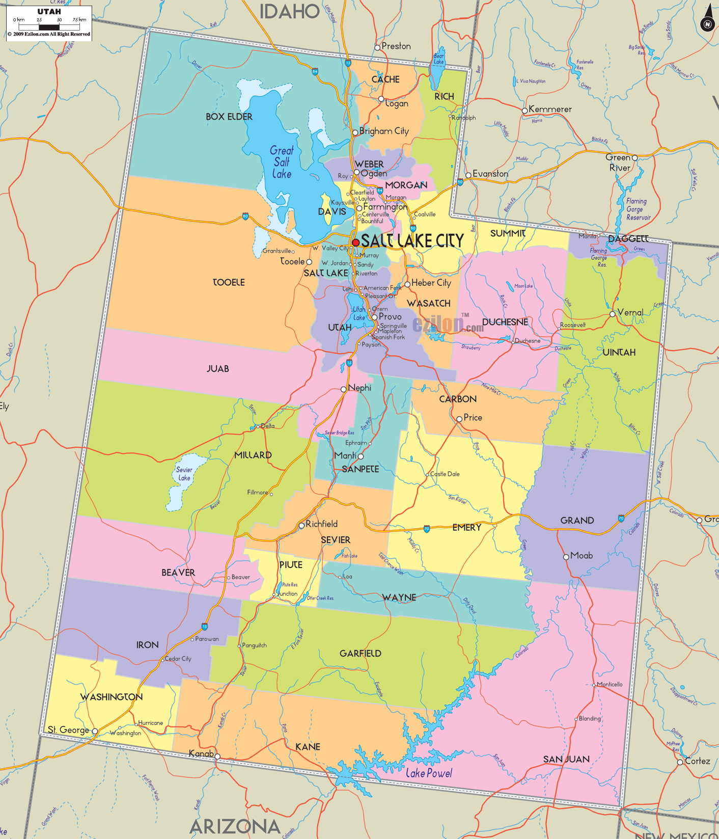
Utah Map
ASHLEY NATIONAL FOREST
Ashley National Forest is in northeast Utah, and has a small tract in Wyoming. Especially notable here are the Uinta Mountains, with a number of rugged peaks including 13,528-foot Kings Peak, the highest elevation in Utah.
There are also high alpine basins and glacial canyons, meadows, many lakes, streams, and rivers, with some forests of fir, spruce and pine. Wildlife includes antelope, elk, moose, deer, bear, bighorn sheep, mountain lion, and lynx.
This National Forest has one designated wilderness area, consisting of a large portion of the
460,000-acre High Uintas Wilderness, which continues on into Wasatch-Cache National Forest. It also encloses part of the 200,000-acre Flaming Gorge National Recreation Area, which extends well into Wyoming.
Activities: Hiking and backpacking are available on over 750 miles of trails, including the 53-mile Highline Trail. Difficulty varies from easy to strenuous. High trails may only be free of snow from July through September.
Horseback riding is permitted on most trails, and cross-country skiing is possible on trails during the winter. Rafting is available on a section of the Green River, in the Flaming Gorge National Recreation Area. Fishing is another option, and hunting is permitted in season.
Camping Regulations: Camping is allowed in most of Ashley National Forest, except near public recreation areas or where posted otherwise. Campfires are allowed, but bringing a stove is strongly recommended. No permits are necessary. Some parts of the Flaming Gorge National Recreation Area are closed to camping.
For Further Information: Ashley National Forest, 355 North Vernal Avenue, Vernal, UT 84078; (801)789-1181.
Utah Map Photo Gallery
Maybe You Like Them Too
- Explore Southgate, Michigan with this detailed map
- Explore Les Accates, France with this Detailed Map
- Explore Góra Kalwaria, Poland with this detailed map
- Explore Gumdag, Turkmenistan with this detailed map
- Explore Telfes im Stubai, Austria with this detailed map