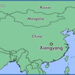
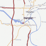
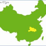
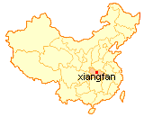
Province: Hebei. Area: 18sq.km/7sq. miles Population: 250,000 (conurbation 310,000)
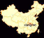
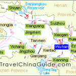
Xiangfan lies along middle reaches ofthe Hanjiang river, a majortributary of the Changjiang, in the north ofthe central Chinese province of Hebei, at 112°07’E and 32°02’N.
It is linked by rail and a good road with the provincial capital Wuhan, about 300km/190 miles away.
Xiangfan was already 3000 years old when it was made the capital of a principality during the Western Zhou era (11th c-770 B.C.). It was given its present name during the Qin period (221-206 B.C.). For the 2100 years or so since then it has been the political and economic centre ofthe north-wesien part of Hubei province. In 1950 the new Xiangfan emerged as a result of the merging of the towns of Xiangyang and Fancheng. In the last 40 years the various branches ofthe textile and light industries have developed rapidly.
The Wall of the Green Shadow, in the south-east of Xiangfan, is 7m/23ft high, 25m/82ft wide and 1-6m/5ft3in. thick; a decorative wall of green stone with white marble edges, it was constructed in the 15th c. in front ofthe residence of a Ming prince, but burned down in 1641. The bas-reliefs depict over 100 dragons in various poses.
The Temple of Migong Si, in the south-west of the town, was built in memory ofthe calligrapher Mi Shi (1051-1107), whose work is displayed here.
Xiangfan Map Photo Gallery
Maybe You Like Them Too
- The Best Cities To Visit in The World
- World’s 10 Best Places To Visit
- Coolest Countries in the World to Visit
- Travel to Santorini, Greece
- Map of Barbados – Holiday in Barbados

