Capital of the Autonomous Region of Ningxia
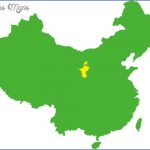
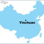
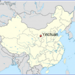
Altitude: 1100m/3610ft. Area: 4487sq.km/1732sq. miles Population: 384,000 (conurbation 701,000) Yinchuan lies in the north of the Autonomous Region of Ningxia, at 106°17’E and 38°30’N. Trains run from hereto Lanzhou (470km/292 miles) and Beijing (1340km/832 miles). There are also air links with Beijing (about 2 hours), Taiyuan (1V4 hours) and Xi’an {VA hours), Yinchuan was founded in the early 11th c. From 1038 to 1227 it served as the capital of the Western Xia kingdom. Under the Yuan, Ming and Qing (from the 13th to the early 20th c.) it was of great political importance to the north-west of China. In 1958, when the Autonomous Region of Ningxia was formed to provide a home for the Hui ethnic group, Yinchuan was made its seat of government.
Today textiles, engineering and chemicals form the basis of the town’s industry. Irrigation programmes have made intensive farming possible in the surrounding country.
The 22m/72ft high Pavilion ofthe Jade Emperor in the town centre dates originally from the Ming period (1368-1644), but was rebuilt in 1954. It stands on a terrace of compressed clay covered in bricks and measuring 19m/62ft high, 38m/125ft long and 25m/82ft wide.
The West Pagoda in the south-west of the town forms part of the Temple of Cheng Tian Si and was built in 1050. Both buildings were destroyed in an earthquake in 1738. The pagoda, 64m/210ft high, octagonal in plan and covered with green ceramic tiles, was rebuilt in 1820.
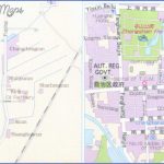
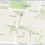
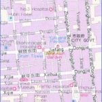
Yinchuan Map Photo Gallery
Maybe You Like Them Too
- The Best Cities To Visit in The World
- World’s 10 Best Places To Visit
- Coolest Countries in the World to Visit
- Travel to Santorini, Greece
- Map of Barbados – Holiday in Barbados

