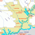
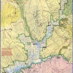
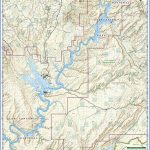
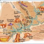
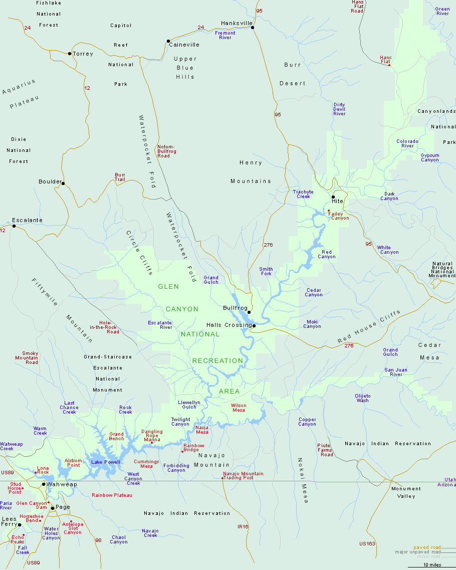
GLEN CANYON NATIONAL RECREATION AREA MAP UTAH
Established in 1972, this National Recreation Area was created by damming up the Colorado River in Glen Canyon to create 186-mile-long Lake Powell. Although the headquarters are located in Arizona, almost all of the area is in southern Utah.
This is arid canyon country, with high buttes and mesas, deep canyons with precipitous cliffs.
Vegetation consists of desert varieties such as cactus and yucca. Wildlife includes deer, coyote, and fox.
Activities: There are many options for hikers and backpackers, but few established trails. Travel must be through canyons or cross-country. Mountain biking is limited to roads.
Canoeing and kayaking are possible on Lake Powell, and fishing is available. River trips through the Grand Canyon also begin here. Demand for these trips is so high that the required permit must be obtained up to several years in advance.
Camping Regulations: Camping is allowed throughout most of this National Recreation Area, except near public use areas. Campers are asked to choose sites which are free of vegetation, out of sight of trails, and at least 100 feet from water sources. A free permit is required to camp in the Escalante River area.
Campfires are generally allowed but strongly discouraged. A stove should be carried. Maximum group size is 12. Since summers tend to be hot, spring and fall are the best times to visit.
For Further Information: Glen Canyon National Recreation Area, P.O. Box 1507, Page, AZ 86040; (602)645-2511.
GLEN CANYON NATIONAL RECREATION AREA MAP UTAH Photo Gallery
Maybe You Like Them Too
- Arnold A Town with a Heart
- The Best Cities To Visit in The World
- World’s 10 Best Places To Visit
- Map of New York City – New York City Guide And Statistics
- Map of San Francisco – San Francisco Map Free

Your Maps are very informative and raise my Desire to visit this Area. I would be interested to take a Boat Tour from Page or further North-East on Lake Powell, which I can access with my Type B Motorhome. How can I look into this. Based on your Maps I cannot access this Area via my RV, except taking Rt. 276. Thank You