Province: Guangdong. Area: 197sq.km/76sq. miles Population: 199,000 (conurbation 5,270,000)
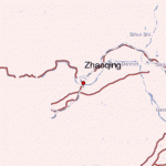
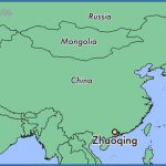
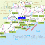
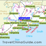
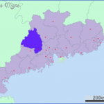
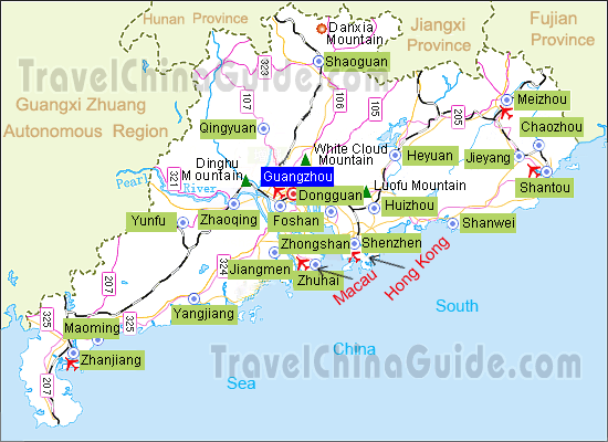
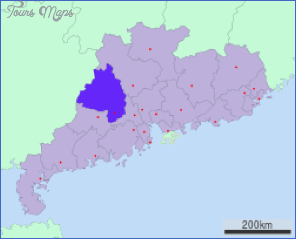
Zhaoqing is situated on the Xijiang river, in the centre of Guangdong province, at 112°25’E and 23°05’N. From the provincial capital of Canton, 110km/68 miles away, there are buses and ships to Zhaoqing. Situation and Communications
Zhaoqing is over 2000 years old, and in 1118 was made the capital of an important administrative district. In 1646 the leader of a peasants’ uprising used it as his headquarters. History
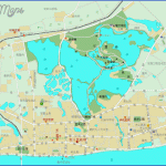
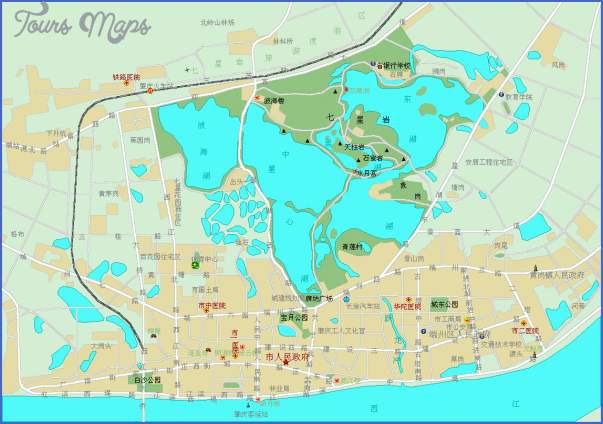
The Seven Star Rocks rise up out of Star Lake on the northern edge of the town. The shape of these seven hills, rich in impressive caves, temples and pavilions, resembles the Great Bear (Ursa Major) constellation. Atthe entrance gatethere is an inscription by the revolutionary Zhe De. In Stone Chamber Rock (Shishi) lies a cave containing 270 carved stones. Sights Seven Star Rocks (Qixing Yan)
The Dinghushan massif, 18km/11 miles north-east of Zhaoqing, has been visited by pilgrims for more than 1000 years. It is situated in the middle of some 1200ha/3000 acres of land which has been declared a nature reserve and is home to more than 2000 species of plants and animals, including some very rare and valuable ones such as the Indian antelope, silver pheasant and scaly ant-eater. Surroundings Mount Dinghushan
On the top of the largest mountain, the 1000m/3300ft high Cockscomb, lies Three-legged Stool Lake (Dinghu). According to legend the Yellow Emperor often came here to show the locals how to make three-legged stools, and that is how the lake got its name. Cockscomb (Jilong Feng)
Zhejiang province lies in eastern China, between 118°01′ and 123°08’Eand Situation 27°0V and31°10’N. 80% ofthe territory is mountainous and hilly, and 20% plateaux or plains. Topography The highest peak is 1921 m/6305ft. As the province lies in a subtropical zone the climate is very warm and Climate humid. There are marked seasonal differences. The mean annual temperature lies between 16° and 19°C/61° and 66°F and the annual rainfall is 1850mm/74in approx.
Zhejiang can trace its history back to the 8th c. B.C.. For a long time it was History divided into east and west sectors. The town began to prosper when the Song (960-1279) moved their seat to Hangzhou, This came to an end with theTaiping Uprising (1851-64).
The main industries are engineering and chemicals. Only some 20% ofthe Economyland area is suitable for agriculture; most of this is used for growing rice, corn and maize. Tea and silk is of particular importance.
The major sights and places of interest will be found in the provincial Places to visit capital Hangzhou and in Shaoxing, Ningbo, Wenzhou, Jinghua and Jiaxing (see entries).
Zhaoqing Map Photo Gallery
Maybe You Like Them Too
- The Best Cities To Visit in The World
- World’s 10 Best Places To Visit
- Coolest Countries in the World to Visit
- Travel to Santorini, Greece
- Map of Barbados – Holiday in Barbados

