Malibu Point
Hiking Distance: 2-Mile Loop Hiking Time: 1 Hour Configuration: Loop Elevation Gain: 100 Feet Difficulty: Easy Exposure: Exposed Oceanfront Dogs: Allowed
Maps: U.S.G.S. Malibu Beach Tom Harrison Maps: Malibu Creek State Park Trail Map
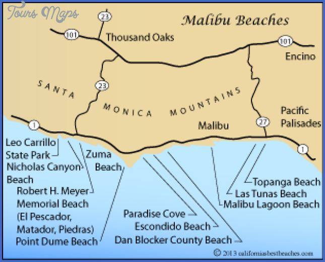
Malibu Bluffs Open Space Comprises 84 Acres On The Bluffs Between The Pacific Coast Highway And Malibu Road, Directly Opposite Of Pepperdine University And Malibu Canyon Road. The 100-Foot Oceanside Cliffs Rise Above Amarillo Beach And Puerco Beach And Are Covered With Coastal Sage Scrub, Willow Scrub, And Open Grasslands.
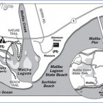
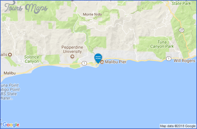
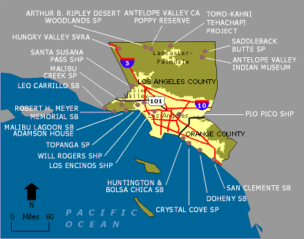
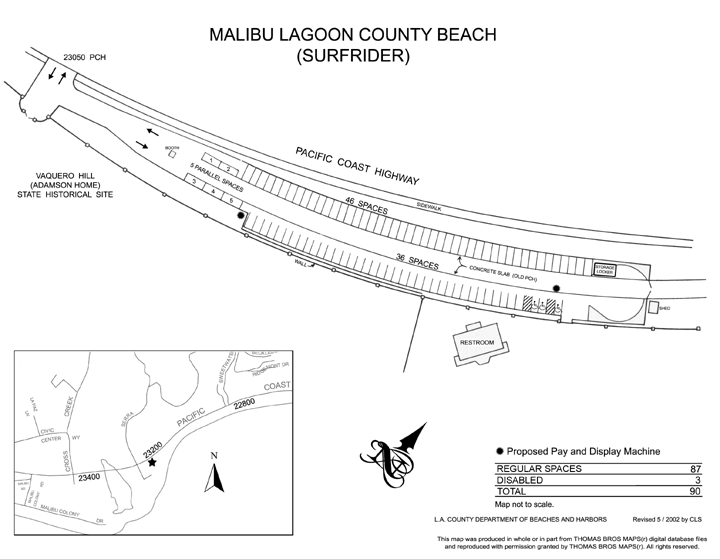
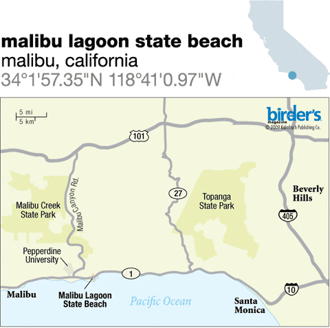
Malibu Lagoon State Beach Map Photo Gallery
Five Public Stairways (Which Adjoin Private Property) Lead Down To The Shoreline From The Base Of The Bluffs. The Open Space Is Adjacent To Malibu Bluffs Community Park, A Developed Six-Acre Park With Spacious Lawns, Baseball Diamonds, Soccer Fields, Picnic Areas, A Free Parking Lot, And A Paved Walkway Lining The Park’S Periphery. This Hike Begins From The Expansive Lawns In Malibu Bluffs Community Park. The Hike Forms An Easy Loop Across The Plateau That Includes Both Coastal And Mountain Views.
To The Trailhead
From Santa Monica, Drive 12 Miles Northbound On The Pacific Coast Highway/Highway 1 To Malibu Canyon Road By Pepperdine University. Turn Left Into The Posted Malibu Bluffs Community Park Parking Lot.
The Hike
From The Northwest Corner Of The Parking Lot, Take The Path Closest To The Pacific Coast Highway And Head West. Cross The Meadow, Passing A Pocket Of Eucalyptus Trees On The Right, To A T-Junction At The Edge Of Deep Marie Canyon. The Right Fork Exits The Parkland To The Pacific Coast Highway, Just East Of John Tyler Drive. Bear Left And Follow The East Rim Of The Canyon To The Bluffs Closest To The Ocean. Curve Left Along The Edge Of The Bluffs To A Junction. The Right Fork Descends To The Oceanfront Homes And Coastal Access Stairways At Malibu Road. Bear Left And Cross The Footbridge Over A Minor Drainage To Another Junction. The Right Fork Gradually Climbs To A Picnic Area At The Southwest Corner Of Malibu Bluffs Community Park. Take The Left Fork 100 Yards, Following The East Side Of The Gully. Two Switchbacks Zigzag Up The Hillside To Great Views Of Pepperdine University And The Santa Monica Mountains. Continue To A Trail Fork. The Left Fork Heads Straight To The Trailhead. Go To The Right, Climbing To A Picnic Area And Paved Path. Follow The Blufftop Path To The Left And Circle The Park, Passing The Ball Fields While Overlooking Malibu Point (Hike 106). The Path Ends On The Park Road. Return Along The Road To The Left.
Hiking Distance: 2.5-Mile Loop Hiking Time: 1.5 Hours Configuration: Loop Elevation Gain: 400 Feet Difficulty: Easy
Exposure: Mostly Exposed Hillside And Some Shaded Canyon Bottom Dogs: Allowed
Maps: U.S.G.S. Malibu Beach Tom Harrison Maps: Malibu Creek State Park
Corral Canyon Is An Undeveloped, 2.5-Mile Watershed Between Malibu Canyon And Latigo Canyon. The Canyon Stretches From The Crest Of The Santa Monica Mountains To The Pacific Ocean. Seasonal Corral Canyon Creek, Which Runs Through The Steep Draw, Forms In Malibu Creek State Park, Then Drops 2,500 Feet Through The Rugged Canyon Before Emptying Into The Sea At Dan Blocker State Beach. The Area Was Once Owned By Entertainer Bob Hope. It Has Since Become Corral Canyon Park, Encompassing 340 Acres.
This 2.5-Mile Loop Trail Travels Through The Center Of The Park. The Well- Maintained Footpath Climbs The East Canyon Slope On An Ancient Marine Terrace With Native Bunch Grasslands, Providing Wonderful Ocean And Mountain Views. The Trail Climbs Up Through Coastal Sage Scrub To The Puerco Canyon Watershed Divide. The Return Descends Into The Lush Riparian Canyon Among Alder, Coast Live Oak, California Sycamore, And Willow Trees.
To The Trailhead
From Santa Monica, Drive 13.8 Miles Northbound On The Pacific Coast Highway/Highway 1 To Malibu Seafood Fresh Fish Market On The Right. Park Along The Side Of The Road For Free Or In The Fee Parking Lot On The East Side Of The Restaurant. The Turnoff Is Located 1.8 Miles Past Malibu Canyon Road And 0.5 Miles Before Corral Canyon Road.
The Hike
From The Parking Lot On The East Side Of The Restaurant, Walk To The Signed
Trailhead. Immediately Drop Into A Shaded Riparian Corridor Under Oaks, Sycamores, And Bays. Cross The Creek And Leave The Lush Vegetation To The Exposed Chaparral And Veer Left. Traverse The East Slope Of Corral Canyon To An Unsigned Fork. Begin The Loop On The Right Fork, Hiking Counter-Clockwise. Gently Gain Elevation To Sweeping Coastal And Canyon Views. Weave Up The Oceanfront Hillside, With Vistas Stretching Across Santa Monica Bay From Palos Verdes To Point Dume. Cut Back To The Left And Continue Climbing At A Moderate Grade On The East Canyon Wall. The Path Levels Out, Then Begins To Descend Into The Canyon With The Aid Of Five Switchbacks. Weave Down Canyon, Passing The Remains Of An Old Home On The Left With An Intact Chimney. Return To The Creekside Vegetation, Completing The Loop. I
Maybe You Like Them Too
- Top 10 Islands You Can Buy
- Top 10 Underrated Asian Cities 2023
- Top 10 Reasons Upsizing Will Be a Huge Travel Trend
- Top 10 Scuba Diving Destinations
- World’s 10 Best Places To Visit

