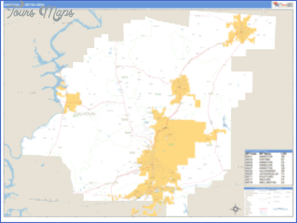
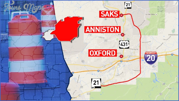
Anniston Army Depot, Anniston
Large quantities of nerve gases and mustard gas are stored at this facility deep in the piney woods of east-central Alabama. You don’t want to be downwind from this place in case of a leak, okay?
Anniston Army Depot is located about 50 miles west of Birmingham and is named for the nearby city of Anniston. It was opened in 1941 as a repair and storage depot for tanks, other combat vehicles, and artillery equipment. In 1963, it became a storage facility for chemical weapons and is now transitioning to a chemical weapons disposal facility. Original plans called for it to be out of the chemical weapons storage business by 2006. However, this deadline has been extended.
What’s There: Chemical weapons are stored here in the form of cartridges, shells, small rockets, and land mines filled with various chemical agents. The inventory included over 40,000 land mines loaded with VX nerve gas and over 100 one-ton containers of mustard gas.
Key Facilities: Chemical weapons are stored in the northeastern corner of the depot in an area occupying approximately 760 acres (the entire depot covers over 18,000 acres). The chemical weapons are stored in over 150 “igloo” structures designed to contain the gases in case of a leak.
Getting a Look Inside: No public tours are currently offered and the chemical storage facilities are not visible from roads or other public property.
Getting There-. The main entrance is located west of Anniston along Highway 78.
Roads to Anniston Army Depot, Anniston
Anniston Map Photo Gallery


Maybe You Like Them Too
- DUBAI UNITED ARAB EMIRATES
- Wildlife Travel Guide
- Wildlife Travel To Alonissos
- National Wildlife Travel
- Arabian Safari