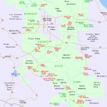
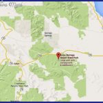
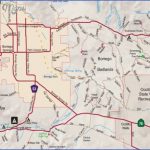
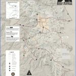
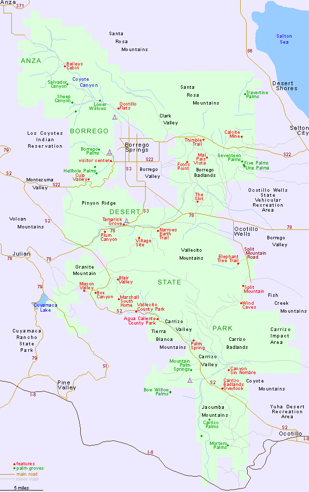
ANZA-BORREGO DESERT STATE PARK MAP CALIFORNIA
600,000 acres. Located in the desert region east of Cleveland National Forest, in the southern part of the state, Anza-Borrego is California’s largest state park.
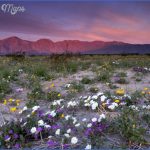
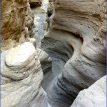
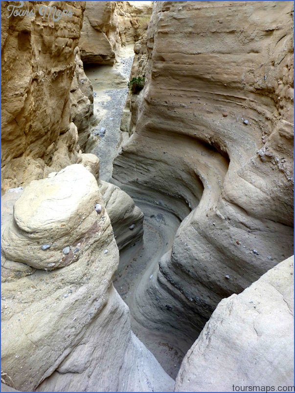
There are mountains over 5,000 feet, canyons, badlands, and sandstone formationswith palm oases, some streams, and wildlife which includes bighorn sheep, mule deer, and mountain lion.
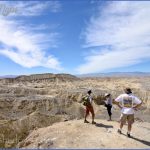
Activities: Hiking and backpacking are possible on about 20 miles of short trails, along with segments of the Pacific Crest Trail (see entry page 113) and the California Riding and Hiking Trail. Off-trail travel is also feasible. Horseback riding is freely allowed, whereas bike use is restricted to park roads.
Camping Regulations: This is one of the few state parks in California with minimal restrictions on camping. Some established campsites are available, but with the exception of a handful of locations, one may camp almost anywhere in the park.
Campsites should be well away from water holes and developed areas. Voluntary registration is available at the visitor center, but no permits are necessary. Campfires are prohibited except when built inside metal containers. Water must be carried in.
For Further Information: Anza-Borrego Desert State Park, P.O. Box 299, Borrego Springs, CA 92004;(619)767-5311.
ANZA-BORREGO DESERT STATE PARK MAP CALIFORNIA Photo Gallery
Maybe You Like Them Too
- Arnold A Town with a Heart
- The Best Cities To Visit in The World
- World’s 10 Best Places To Visit
- Map of New York City – New York City Guide And Statistics
- Map of San Francisco – San Francisco Map Free

